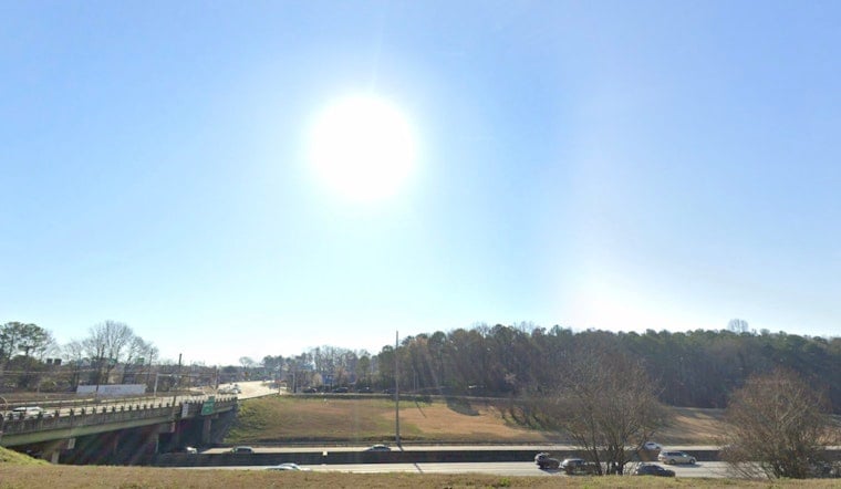
Metro Atlanta woke up to a cool, breezy Wednesday, with temperatures in the mid-50s around Peachtree City and mostly sunny skies. By late morning and into the afternoon, forecasters expect east winds to pick up while humidity drops into the mid-20s across many neighborhoods. That one-two punch of gusty winds and very dry fuels bumps up the odds that a small spark or backyard burn could get out of hand later today.
Afternoon Fire Weather Risk
A Red Flag Warning is posted for portions of central and eastern Georgia from noon to 8 p.m. Wednesday, April 8, with a Fire Danger Statement covering much of the rest of the metro area. According to the National Weather Service Peachtree City, sustained east-northeast winds around 8 to 15 mph with gusts up to about 25 mph are expected during peak mixing this afternoon. Forecasters also flag relative humidity readings near or below 25 percent for several hours, a classic setup for elevated fire behavior.
What To Avoid Today
Officials are asking residents to hit pause on outdoor burning and any spark-heavy chores such as brush pile burns, welding, or mowing very dry grass while the alerts are in place. The NWS special notice highlights the multi-hour stretch of low humidity and gusty winds and urges people to check local burn-permit regulations before lighting anything. If you spot smoke that appears uncontrolled, call 911 so firefighters can jump on it quickly.
Weekend Outlook
The dry stretch sticks around through the end of the week, with highs climbing into the low 70s on Thursday and pushing into the 80s by Saturday and Sunday. Forecasters expect mid-80s at times early next week. With little to no measurable rain on the horizon, drought and fire concerns could ratchet up further without a decent soaking. Keep an eye on forecast updates if you are planning to spend time outside this weekend.


