New Orleans rolled out of bed today to dense fog, sticky air in the upper 60s to near 70°F, and the promise of a soggy day. Multiple rounds of showers and thunderstorms are on tap, with the heaviest cells most likely this morning and again in the early-to-mid afternoon. Highs will hover near 72°F, and where the downpours line up, drivers can expect standing water on low bridges and slower-than-usual commutes.
Timing And Local Impacts
Forecasters expect showers and thunderstorms before 9 a.m., then another active window around 2–3 p.m., before most of the storm action shifts toward the coast by late afternoon. Northwest winds of 5–15 mph should keep temperatures capped in the low 70s.
If you are headed out around lunchtime, build in some extra time. Brief heavy rain and lightning could slow traffic, send visibility tumbling, and lead to quick ponding in the usual low spots.
Small Craft Advisory Tonight
A Small Craft Advisory kicks in at 7 p.m. today and runs through 7 p.m. Monday, April 6, 2026, as northerly winds strengthen and seas build. North-to-northeast winds could gust into the 20–25 knot range, making short, unprotected runs uncomfortable and potentially hazardous, according to NWS New Orleans/Baton Rouge.
Boaters should secure loose gear, double-check moorings, and think hard about postponing recreational trips on open water tonight and Monday morning.
How To Plan Your Day
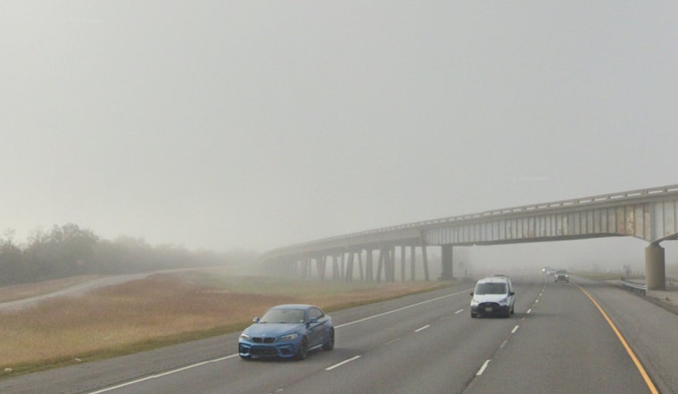
On the roads, watch for pockets of near-whiteout fog early and sudden ponding during stronger cells later on. Slower, defensive driving will go a long way toward avoiding trouble.
For background on this week’s storm windows and boating notes, see our look at the steamy setup earlier this week. Keep phones charged, park on higher ground if you can, and move outdoor plans under cover when thunderstorms roll in.
Rest Of The Week
Monday turns cooler with a high near 68°F, then temperatures rebound later in the week, with highs climbing into the mid 70s and upper 70s by the weekend.
Forecasters are also flagging a prolonged stretch of easterly winds midweek that could nudge coastal water levels higher and raise the odds of minor coastal flooding on east-facing shorelines. Anyone planning time near the water should keep an eye on updated official forecasts.


