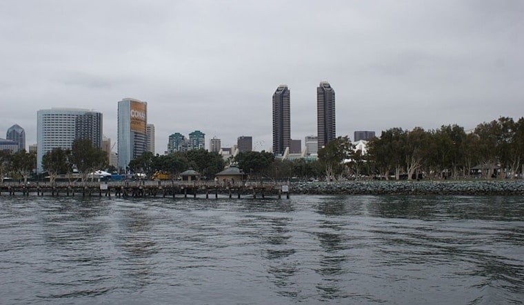
San Diego woke up under a gray blanket today, with temperatures parked in the low 60s and a cool onshore breeze already in the mix. Spotty light showers are expected through the evening, with winds set to ramp up, especially along the coast and in those notoriously gusty canyons.
Rain Chances This Afternoon And Night
Forecasters are calling for a 50% chance of rain showers during the day Saturday, with odds climbing tonight until tomorrow morning. Coastal neighborhoods and west-facing slopes have the best chance of brief, light rain. Most lower elevations are expected to pick up less than a tenth of an inch, while mountain areas could see a few tenths.
Afternoon Winds Pick Up
Southwest winds will run about 5 to 10 mph this afternoon, with coastal gusts near 20 mph, then shift to the west at 10 to 15 mph with gusts to around 25 mph Saturday night. In higher elevations, on desert slopes and through mountain passes, things get more serious, with gusts commonly between 45 and 55 mph and isolated blasts up to 60 to 65 mph. A Wind Advisory is in effect from 2 PM today through 11 AM tomorrow, so residents are urged to secure loose outdoor items and use extra caution on exposed roads, according to the National Weather Service San Diego.
What This Means For Your Plans
If you are heading outside, plan on a light jacket and be ready for gusts strong enough to flip unsecured patio furniture or send lightweight gear skittering down the block. Drivers should budget extra time when traveling through canyons and passes where cross-winds can be intense, and small-boat operators should be prepared for choppy conditions on the water through the afternoon and evening.
Looking Ahead
Conditions are expected to dry out next Monday, April 27, with temperatures rebounding into the upper 60s and low 70s by midweek. A weak cut-off low could bring another slight chance of showers later in the week, so it is worth keeping an eye on updates from the National Weather Service San Diego.


.jpg)