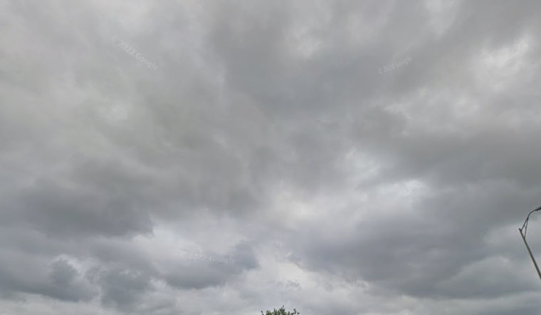
Indianapolis rolled into Tuesday, April 28 under a blanket of low clouds and light rain, waking up to a muggy 61°F at Indianapolis International Airport with south-southwest winds stirring the damp air. The gray, drizzly start is only a brief lull in an unsettled stretch, as forecasters say another round of scattered showers and thunderstorms is on deck late tonight.
Late Night Thunderstorms And Flood Risk
From late Tuesday night into early Wednesday morning (April 28–29), scattered showers and thunderstorms are expected to fire back up, with the best shot for storms coming between about 11 p.m. and 2 a.m. Across the metro, new rainfall totals could land between one half and three quarters of an inch. Any storms that train over the same spots could quickly dump heavier pockets of rain, pushing small creeks up in a hurry and creating ponding on low-lying streets. Forecasters note the flood threat is still in play across parts of southern Indiana after multiple rounds of heavy rain earlier this month, according to the NWS discussion.
Cooler Pattern And Weekend Frost Risk
Once the front moves through, temperatures take a step down. Highs on Wednesday are expected to top out near 62°F with a brisk north wind while showers fade through the afternoon. Ensemble guidance keeps readings running below normal into the weekend, with overnight lows dipping into the upper 30s to low 40s. That is chilly enough to threaten pockets of frost in exposed yards and gardens Saturday and Sunday.
Commute And Safety Tips
Drivers should be ready for slow, slick conditions during the late-evening commute and keep an eye out for standing water in trouble spots, especially along the I-70 corridor and near quick-draining creeks. Do not try to drive through flooded roadways. Move vehicles to higher ground if needed, and keep tabs on closures and real-time conditions at Indiana 511.


