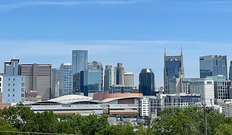
Nashville is waking up mostly clear and mild this morning, with temps hanging in the upper 60s and the humidity sticking around. A quick shot of unseasonable warmth will send daytime highs into the mid-80s today and Friday, while south winds crank up this afternoon. Enjoy the early taste of summer, but keep weekend plans flexible: a stronger system rolls in Saturday with a much better chance of showers and thunderstorms before a cooler Sunday settles in.
Afternoon Winds Pack A Punch
Southerly winds will strengthen to around 10 to 20 mph this afternoon with gusts up to about 30 mph, enough to rattle umbrellas, shuffle unsecured patio furniture, and make the evening commute feel pretty blustery. The gustiest stretch is expected from midafternoon into early evening, with high temperatures topping out near 86°F. For the official forecast and hour-by-hour timing, see the National Weather Service.
Weekend Storms And A Cooler Turn
A more significant disturbance arrives Saturday, bringing a high chance of showers and thunderstorms into Saturday night, with many forecast models putting probabilities near 80% for the metro. Rainfall totals are expected to be modest, generally under about 1 to 1.25 inches, and forecasters still see the risk of severe storms or widespread flooding as very low. We first flagged this setup in an earlier writeup, so check out our look at summerlike sizzle and a stormy weekend for added context.
Plan Ahead
Tie down loose outdoor furniture, grab a wind-resistant layer for tonight’s plans, and keep a close eye on Saturday event schedules, since localized downpours and brief visibility drops are on the table. Temperatures fall behind the front, with highs dropping to the mid-60s on Sunday and chilly nights lingering into early next week, so plan for a cooler reset after the weekend rain. If you have outdoor events lined up, make sure a backup indoor plan is ready to go.


