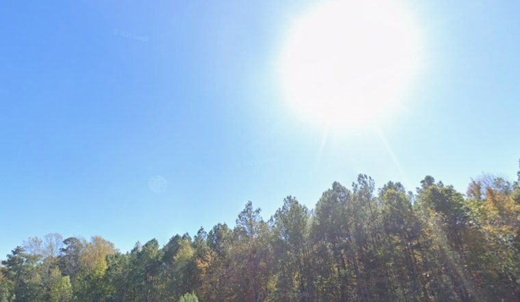
Raleigh is waking up to mild, muggy air near 64°F on Thursday, April 2, 2026, with mostly sunny skies and a high near 84°F expected later in the day. The warm-up will not be all blue skies and patios, though, as increasing south winds and dropping afternoon humidity will crank up the wildfire risk across central North Carolina.
Afternoon Heat And Gusty Winds
South winds around 8 mph, with gusts up to about 20 mph, will help push temperatures into the low 80s. At the same time, afternoon relative humidity is expected to slip into the mid 30s to mid 40s, which makes dry grass and leaf litter much easier to ignite. Special weather statements are in effect to highlight the increased fire danger for central North Carolina, according to the National Weather Service.
Legal Implications
A statewide ban on open burning has been in effect since 6 p.m. on Saturday, March 28, 2026, and it bars open fires except within 100 feet of an occupied dwelling. "Anyone violating the burn ban faces a $100 fine plus $183 court costs," and the state may seek suppression costs if a fire escapes, according to the N.C. Department of Agriculture.
Weekend Outlook: Warm Then Stormy
The unseasonable warmth keeps hanging around on Friday, April 3, 2026, and Saturday, April 4, 2026, with highs in the low to mid 80s. A strong cold front moves in on Sunday, April 5, 2026, bringing widespread showers and thunderstorms. Some storms could turn strong to severe, and total rainfall is currently expected to be a quarter to a half inch before cooler air returns on Monday, April 6, 2026, according to the National Weather Service.
What To Do Today
For now, it is a good day to skip outdoor burning or brush piles, postpone any spark producing yard work, and avoid parking vehicles on dry grass. If you spot smoke or a fire, call 911 immediately and notify your county fire marshal so crews can move in quickly.


