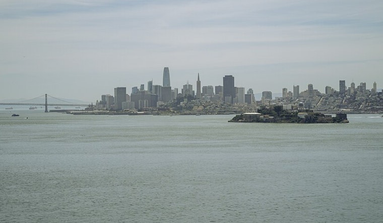
San Francisco eased in today, under mostly cloudy skies and cool, muggy air, with neighborhood temperatures hovering around 53°F early on. As the marine layer thins by late morning, the city should trade gray for blue, with mostly sunny skies and an afternoon high near 67°F, a bit warmer than the last few days.
Afternoon Breeze And Where It Warms Up
A gentle west-southwest breeze of about 2 to 10 mph is expected across much of the city, strengthening to around 10 mph near the bridges later in the day. Inland spots such as the Mission and SoMa look to be the warm pockets, while the coast and waterfront lag behind by about 5 to 10 degrees.
Rain Moves In Monday Through Wednesday
A wetter pattern moves back in starting tomorrow morning, with rain arriving first in the North Bay and then sliding south through the day. The main frontal band is most likely from late tomorrow until Tuesday morning. Forecast guidance calls for roughly 0.5 to 1.5 inches of rain across interior valleys and much of the Bay Area, with 1.5 to 3 inches possible in the coastal ranges and North Bay interior mountains. Thunderstorm chances peak Tuesday afternoon and evening at about 20 to 30%, according to the NWS San Francisco.
Earlier Forecasts, New Timing
Hoodline has been tracking this unsettled stretch in recent updates, and this latest forecast sharpens the timing while underscoring heavier rain and marine impacts early next week.
Marine And Commute Impacts
Small Craft Advisories are posted for parts of Monterey Bay and nearby offshore waters tomorrow, with rough, choppy seas and gusty southerly winds in the mix. South winds could gust into the mid-to-high teens inland and higher over exposed points Monday night. If thunderstorms develop on Tuesday, brief heavy downpours and gusty winds could disrupt bridge and ferry operations, according to the NWS San Francisco.
Plan Ahead
If you have outdoor plans tomorrow or Tuesday, bring rain gear and think about moving activities inside. Drivers should ease up on wet roads, pedestrians should watch for localized ponding, and anyone heading out on the water should keep a close eye on advisory windows and local marine forecasts.


