San Jose rolled in today under a gray lid of low clouds, patchy fog and light drizzle, with temperatures stuck in the upper 40s to low 50s. That misty, cool setup will persist through much of the morning, keeping highs near 66°F. The good news: most of the moisture stays light and non-impactful. A warmer, drier pattern starts nudging in by midweek, so you might trade the umbrella for sunglasses, but keep a light jacket handy for those cool evenings.
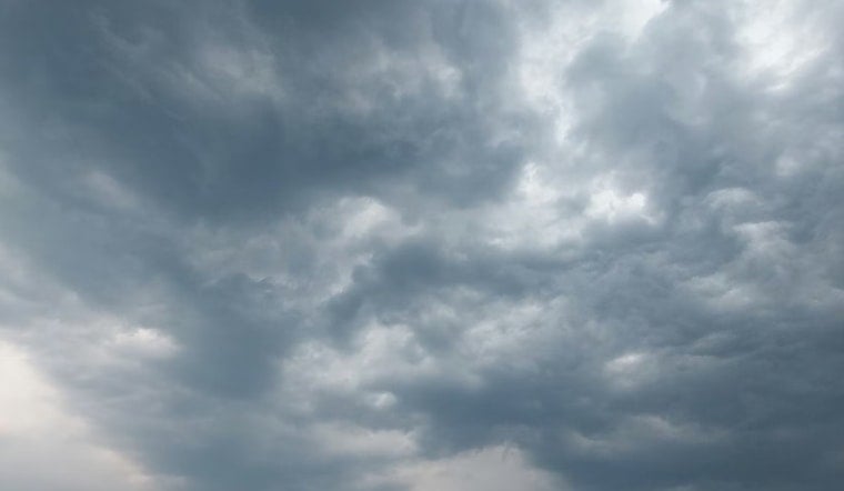
Patchy Fog And Morning Drizzle
Fog will be most widespread before midmorning, with a slight chance of drizzle lingering into the afternoon, but overall precipitation totals are expected to stay on the low side. Southeast breezes will gradually swing around to a west-southwest and then west-northwest flow in the afternoon, dragging in some onshore cooling and leaving a few inland spots a bit damp. According to the National Weather Service San Francisco, drizzle and light rain could hang on until tomorrow morning, though accumulations should remain light.
Afternoon Winds And Commute
By afternoon, winds should reach 3–10 mph, with valley gusts near 10 mph, so most outdoor plans can go ahead without much hassle. Drivers, however, may want to pad commute times a bit, especially on valley approaches and bridge crossings, where pockets of fog could reduce visibility.
Warm-Up Midweek
Skies should start to clear tomorrow night into Tuesday, pushing highs into the mid-70s on Tuesday and into the upper 70s to around 80°F for interior spots by midweek, while the immediate coast holds cooler. The National Weather Service is calling for a warming and drying trend through Thursday and Friday, though morning fog and crisp nights will likely cling to areas near the water. Boaters should also keep an eye on the late-week marine forecast, as exposed offshore waters could build to rough seas of 8–12 feet.


