Seattle woke up on Thursday, April 9, 2026, to crystal-clear skies and a brisk, early-spring chill, with midmorning readings hovering near 43°F at Boeing Field and light winds barely stirring the air. A Frost Advisory lingered over low-lying spots through 9 a.m., leaving shaded lawns, decks, and side streets slick in a few places for the morning commute.
Afternoon Outlook
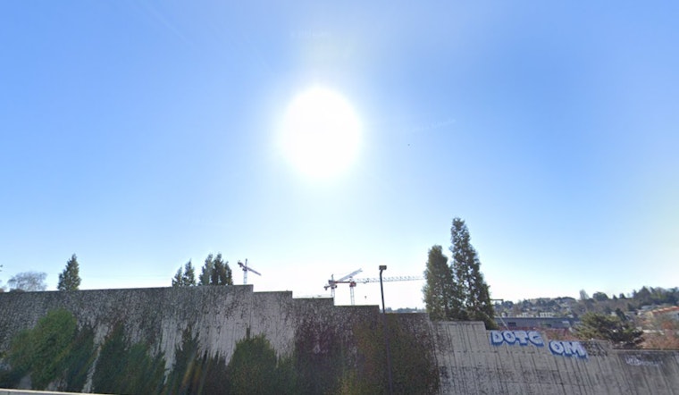
By midday, the Emerald City trades the frosty start for a much friendlier feel. Sunny skies are expected to dominate Thursday, with a high near 64°F and north winds around 3 to 8 mph. Inland neighborhoods should run a bit warmer than the waterfront as the afternoon wears on. If you’re eyeing an outdoor lunch, a park walk, or a quick neighborhood hike, midday into early afternoon will offer the warmest and most comfortable window.
Weekend Rain Returns
The current dry stretch starts to crack late Friday as a Pacific low edges moisture into Western Washington. A slight chance of showers develops Friday afternoon, with rain becoming likely Friday night into Saturday. Most lowland areas are in line for only light totals, roughly a tenth to a quarter of an inch, though the exact timing could still wobble a bit. Temperatures dip on Saturday, with highs topping out closer to the upper 50s.
Impacts And Tips
Gardeners will want to shield tender plants during the coldest early-morning hours, and drivers should keep an eye out for slick patches on shaded roads and neighborhood shortcuts. For the latest timing and fine-print details, check the National Weather Service Seattle forecast. Out on the water, mariners and ferry riders can expect relatively calm conditions through Friday, before the weekend system ushers in light rain and cooler air.


