San Francisco started today on the cool, clammy side, with temperatures in the mid-50s under low clouds. Light showers in the morning are expected to ramp up into a higher chance of showers and thunderstorms by afternoon, with a more organized band of rain set to arrive Saturday night.
Afternoon Storms Pick Up
Showers are forecast to increase through the morning, with a chance of rain before 2 PM. Then the atmosphere gets more lively, shifting into likely showers and thunderstorms this afternoon and evening, with brief heavy downpours and some lightning in the mix. The high should top out near 65°F before sliding into the low 60s later in the day. South-southwest winds will run about 8 to 20 mph, with gusts up to 29 mph on exposed hills and bridge approaches. Drivers should expect slick streets and bouts of reduced visibility during the afternoon commute. According to the National Weather Service, precipitation chances peak Saturday afternoon into the evening.
Saturday Night Soaking
Late tonight, a narrow but well-organized rain band is expected to sweep through, bringing the most widespread steady rain of the weekend. City neighborhoods could pick up a quick half inch to three-quarters of an inch overnight, with higher totals on coastal and mountain slopes.
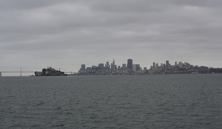
Boaters, Bridges And Small Craft Advisories
Out on the water, Small Craft Advisories are up for many nearshore zones today into this evening. Southerly winds will strengthen ahead of the front, with common gusts near 30 mph and short bursts up to 45 mph possible in favored gaps. The overnight frontal band could tack on another half inch to three-quarters of an inch of rain in the city, with even more across the coastal ranges and the North Bay, locally 1 to 2 inches and up to 2 to 3 inches on some peaks. Ferries and small vessels should expect choppy conditions and plan for potential delays or cancellations, and anyone driving across bridges should be ready for sudden crosswinds. For specific marine zones and timing, check the National Weather Service.
What To Do
Allow extra time for toady's trips, slow down on wet roads, and watch for localized ponding in low-lying areas. If you are headed outside, bring solid rain gear and get indoors quickly if you see lightning or hear thunder. Secure loose patio furniture and lightweight items before the gusts pick up, and if you are boating, plan to return to port early and avoid exposed waters during thunderstorms.
Looking Ahead
Showers and storm chances to linger tomorrow, before tapering off as a warmer, drier pattern settles in early next week. Highs climb back into the mid 60s by Monday, then into the upper 60s to low 70s by Thursday and Friday, offering a decent break from the wet weather for much of next week.


_(05).jpg)