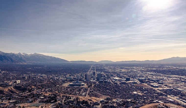
Salt Lake City is starting cloudy and mild this morning with temperatures in the mid-50s, but the quiet stretch will not last long. Showers and thunderstorms are likely later Saturday, with a high near 69°F and the most widespread activity expected from midday into the afternoon. A few storms could deliver brief heavy downpours and localized flooding in rain-sensitive spots, while southerly winds add an extra gusty edge. Colder, more unsettled weather is lined up for Sunday into early next week.
What To Expect Saturday
The National Weather Service is calling for about a 60% chance of showers and thunderstorms Saturday, especially along and east of I-15. Most places that see storms can expect new rainfall totals in the tenth to quarter-inch range, mainly from the heavier cells. Storm coverage ramps up from midday through late afternoon, so lunchtime errands, midday commutes, and outdoor plans may be interrupted by quick bursts of heavy rain and reduced visibility. Low-lying spots and paved areas with poor drainage are the ones to watch, since short but intense rainfall could trigger localized flooding there.
Winds And Travel
Southerly winds will generally run 8 to 14 mph Saturday, with some pockets turning noticeably gustier as storms move through. In the West Desert, isolated gusts over 40 mph are possible, and the odds of stronger gusts increase Sunday as a second system approaches. That mix of wind and downpours may be a hassle for high-profile vehicles and could slow traffic on exposed highways and mountain corridors. We covered the initial threat yesterday in our earlier post on stormy weekend whiplash, and today’s forecast sharpens concerns about brief flash flooding in rain-sensitive areas, as per Hoodline.
Sunday Through Early Next Week
A second, slower-moving system is expected from Sunday into Tuesday and will drag temperatures below seasonal norms, with Monday highs in the mid-50s. This setup favors valley rain along with accumulating mountain snow, especially above the Cottonwoods and other Wasatch ranges, so ski areas and anyone heading into the higher elevations should keep a close eye on updated forecasts. Showers are projected to back off by mid-week as drier and more stable conditions return.
How To Prepare
Plan on rain gear for Saturday afternoon activities and secure any loose outdoor items before the gustier periods arrive. Build in some extra travel time if you will be driving during heavier showers, particularly on exposed routes or into the mountains. For the latest watches and warnings, stay tuned to the National Weather Service, and check local road reports before tackling mountain passes.


.jpg)