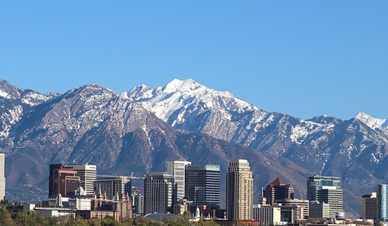
Salt Lake City is getting one last, friendly nod from spring before things turn rowdier this weekend. Clear, mild air greeted the city Friday morning, with Salt Lake City International reporting about 59°F and light east winds. Temperatures will climb quickly, with highs near 77°F this afternoon under partly sunny skies. The warm spell is short-lived, as a Pacific system is due late Saturday and is set to bring a better chance of showers and gusty winds into next week.
Afternoon Warmth
If you have outdoor plans for Friday, April 10, you hit the jackpot. Highs should reach near 77°F, roughly 10-15°F above seasonal normals, with south-southeast breezes of 7-13 mph and only a small chance of an isolated shower. According to National Weather Service, the afternoon will be mostly dry and pleasant, even as southerly flow quietly ramps up ahead of the weekend system.
Weekend Rain And Gusty Winds
Saturday, April 11, looks like the day the weather flips the script. A weakening Pacific storm will bring a chance of rain showers before noon, then showers and thunderstorms are likely later in the day, with a high near 70°F. We first flagged this pattern in our April 7 preview, our weekend washout breakdown, and updated guidance now keeps the system weaker than once feared while still producing gusty conditions across western Utah, as per Hoodline.
Timing And Travel
Rain chances climb again on Sunday, April 12, with showers likely between noon and 3 p.m., then additional storms into the afternoon. Sunday’s high should be near 67°F, and overnight lows could dip into the low 40s. New rainfall amounts of a tenth to a quarter of an inch are possible Sunday night, and gusts in exposed areas could exceed 40 mph, a setup that can make canyon routes and high-profile vehicles hazardous. If you are heading out on the roads, especially through mountain passes, check current conditions and any closures at UDOT Traffic before you go.
How To Prepare
Before the weather turns, it is a good idea to secure patio furniture and other loose items tonight, bring potted plants and pets indoors, and have an indoor backup plan for any outdoor gatherings on Saturday, April 11. A cooler Monday, April 13, is on deck, with highs dropping into the mid-50s and continued chances for showers early next week. If you have canyon or mountain plans, keep an eye on local forecasts as this system works through the region.


