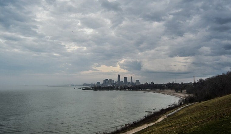
Tuesday morning, April 28, 2026, Cleveland rolled into the day with mostly clear skies and temperatures hovering around 59°F (15°C) at area stations. The calm look was a bit deceiving, though, after an overnight line of decaying showers and thunderstorms kicked up gusty winds across parts of the region. Those showers are set to fade from west to east through the morning, with the afternoon expected to bring partial sunshine and a high near 70°F, even as blustery southwest winds hang around for the commute.
Morning Gusts, Spotty Showers
Overnight storm cells tapped into a strong low-level jet and managed to crank out occasional wind gusts in the 40 to 50 mph range in a few spots. Most neighborhoods will deal with sustained south winds around 15 to 25 mph, with gusts pushing into the mid-30s. In the stronger cells, brief heavy downpours can still cut visibility and cause ponding on roadways, so the morning drive may feel more like a quick car wash in motion.
According to National Weather Service Cleveland, the Wind Advisory that had been in effect for western Ohio counties has already been allowed to expire. A Wind Advisory does remain in place for northern Erie County, Pennsylvania through 11 a.m., and mariners need to keep an eye on a Small Craft Advisory that covers parts of Lake Erie into the afternoon.
Today And The Commute
For Tuesday overall, expect a chance of showers in the morning before noon, followed by skies turning partly sunny with a high near 70°F. Southwest winds will generally run 10 to 22 mph, with gusts up to about 37 mph, which is enough to keep both the morning and evening commutes feeling windy and occasionally unruly. Any lingering heavier showers could drop quick bursts of rain that lead to localized ponding, so it is worth securing loose patio furniture and giving yourself a little extra travel time if your route runs into one of those downpours.
For more on how this setup developed and the overnight evolution of the storms, check out how they storms crash overnight.
Midweek Rain And Frost Risk
Attention then shifts to a second low-pressure system sliding through on Wednesday, which is set to bring a steadier, more soaking rain and a cooler high near 58°F. Some areas could pick up between one-half and three-quarters of an inch of rain, with the higher totals most likely south of U.S. 30. Once that system moves through, a Canadian high pressure noses in and knocks temperatures down for the end of the week, with overnight lows from Thursday through Saturday forecast to drop into the 30s. That is cold enough to pose a real frost risk for tender spring plants that have gotten a little too comfortable with the early-season warmth.
On the lake, boat operators should be ready for choppy conditions into midweek as onshore winds build waves. Checking updated marine forecasts before heading out remains a must, according to National Weather Service Cleveland.
Bottom Line
If you have outdoor plans tonight, keep a sheltered backup in your pocket and leave a cushion of extra time for wet roads and gusty crosswinds. Gardeners will want to cover or move sensitive plants on the coldest nights later this week to guard against frost. And anyone with plans on or near Lake Erie should keep an eye on updated forecasts through Wednesday as the pattern shifts from windy showers to chillier, calmer high pressure.


.jpg)