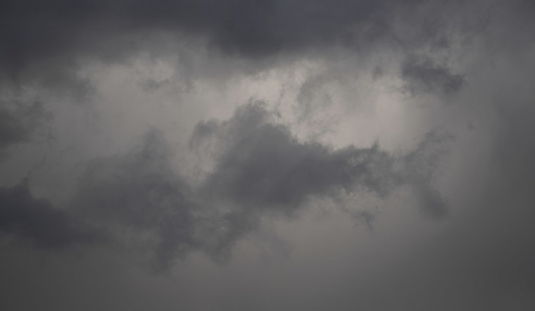
Wednesday, April 8, 2026, started gray and chilly in Milwaukee, with light rain and temperatures near 36°F at Milwaukee Mitchell International Airport (MKE). The chill will not last long, though. Readings are expected to climb into the low 60s this afternoon as southerly winds kick up, bringing scattered light showers early and a breezy, partly sunny finish that could slow commutes and make lakefront bike rides feel a bit dicey.
Afternoon Winds Pick Up
By this afternoon, south winds should run about 15 to 20 mph, with gusts up to 35 mph. Lake Michigan will bear the brunt of it, with gale-force gusts possible over open water. Boaters are urged to stay off the open lake and secure smaller vessels, while shoreline residents can expect higher waves and choppy conditions. The National Weather Service has Gale Warnings and Small Craft Advisories posted for much of Lake Michigan through early Thursday, April 9, and the same forecast calls for a more persistent batch of showers Wednesday night that could drop roughly 0.25 to 0.50 inches of rain. See NWS Milwaukee for details.
Morning Showers, Heavier Rain Tonight
Scattered showers are expected mainly before about 10 a.m., followed by partly sunny skies and a high near 63°F. A steadier round of rain moves in Wednesday night, roughly between 8 p.m. Wednesday, April 8, and 4 a.m. Thursday, April 9, bringing a few tenths of an inch of rainfall that could slow the evening drive and leave the usual low spots damp. For more on how this windy, soggy pattern has been unfolding, revisit Milwaukee's spring smackdown.
What To Expect This Week
Thursday is expected to turn a bit drier and slightly cooler, with highs near 57°F, though another round of showers and a few thunderstorms could roll in Thursday night. The weekend keeps things active: there is a slight chance of showers and isolated thunderstorms Saturday night, followed by a better shot at showers and storms Sunday into early next week as temperatures push into the upper 60s to around 70°F. Outdoor plans may need a backup option, and travel during the wettest or windiest windows could take extra time.
Quick Take and Safety Tips
Secure lawn furniture, garbage bins, and other loose items before the stronger gusts arrive, and be cautious biking near the lake where crosswinds can be sharp. Expect buses, delivery trucks, and ride-shares to run a bit slower during the heaviest rain or windiest periods. Boaters should check the latest marine forecast and stay in port during Gale Warning periods. If you encounter downed power lines or localized flooding, alert local authorities and report outages to your utility, and always treat any fallen wire as if it is live.


