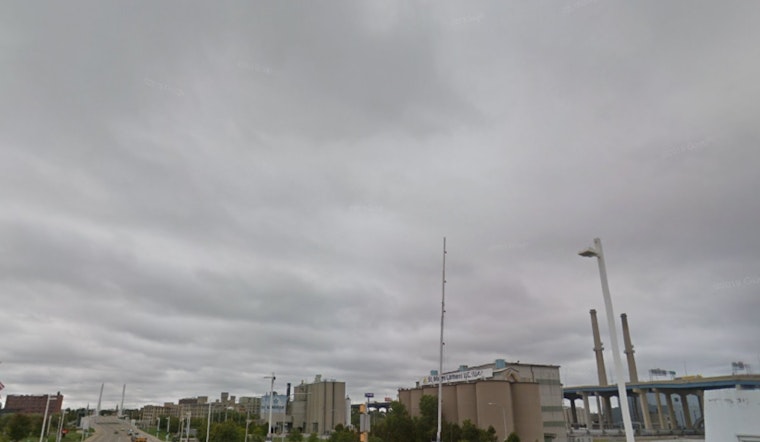
Milwaukee is waking up under a gray lid of clouds this Sunday, April 5, 2026, with temperatures stuck in the upper 30s and around 37°F at Mitchell Airport. A few breaks of sun should sneak in this afternoon, helping push the high to about 49°F, but gusty west winds will keep it feeling cooler along the lakefront. If your plans depend on calm, quiet weather, keep them loose.
Afternoon Winds Pick Up
The National Weather Service Milwaukee/Sullivan is calling for west winds around 15 mph, with gusts up to 30 mph through the afternoon. That is enough to shove around unsecured canopies, knock over lightweight gear, and turn a lakeside bike ride into more of a slog than a cruise.
The Weather Service also expects a round of rain showers to move in late Sunday night, with the best shot at steady rain between about 10 p.m. and 1 a.m. You can count on wet roads overnight, so give yourself some wiggle room if you are driving after dark.
Earlier Storms, Updated Timing
On April 2, we covered a round of heavy rain, strong gusts, and icy spots that snarled commutes earlier in the week. This latest update fine-tunes the timing of tonight’s showers and bumps up the concern for brief, pop-up snow during Monday’s evening drive. For a refresher on that earlier system, see this look at thunder, ice and street puddles from April 2.
Monday Commute: Watch For Snow Showers
Monday, April 6, 2026, will feel like a step backward into late winter. Highs top out near 45°F, then slide into the low 40s by late afternoon. After about 4 p.m., there is a chance of brief snow showers that could quickly cut visibility and slick up roads just in time for the evening commute.
The National Weather Service is also warning boaters that Small Craft Advisory conditions will hang on nearshore through Sunday afternoon, with isolated gale-force gusts possible over northern Lake Michigan. Mariners should check the latest NWS headlines before heading out. If snow does materialize Monday afternoon, expect scattered, hit-and-miss pockets of slippery pavement rather than a widespread, long-lasting storm.
Looking Ahead
Spring regroups by midweek. Temperatures are expected to rebound with milder air and additional chances for rain through Thursday. Highs should climb back into the upper 50s by Wednesday, April 8, 2026, as an active pattern sends multiple systems across the region.
What To Do
For Sunday, lock down lightweight outdoor furniture and tents so they do not become wind-propelled projectiles. Plan for slower travel on wet or possibly slick roads Sunday night and again late Monday if snow showers pop up. If you are boating, steer clear of the open lake during the gustiest periods and check the most recent marine briefings before leaving shore.


