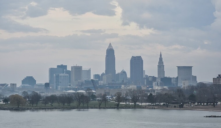
Cleveland woke up on the cool side Thursday, May 7, 2026, with clouds overhead and an official temperature near 46°F. Skies are expected to break toward mostly sunny this afternoon, with a high near 59°F and west winds around 5–13 mph. It will feel a bit brisk at times, with gusts potentially reaching 20 mph late in the day.
Afternoon Winds Pick Up
Through the afternoon, west winds should increase to roughly 10–15 mph, bringing occasional gusts near 20 mph that may make it feel cooler than the thermometer suggests. Expect a mix of sun and clouds, with temperatures holding in the upper 50s. According to NWS Cleveland, gusts near 20 mph are possible this afternoon.
Tonight
Cloud cover builds back in tonight, with a chance of showers developing after about 2 a.m. The low should land near 45°F. That overnight cloud deck and scattered showers are expected to trim down the frost risk forecasters had been watching earlier in the week.
Friday Into The Weekend
A broader trough will swing through and bring several rounds of rain from Friday, May 8, through Sunday, May 10, 2026, with the main event expected Friday night. Locally, a quarter to a half inch of rain is possible Friday night, and while periodic showers continue Saturday and Sunday, total new precipitation through the four-day stretch should stay under an inch, so flooding is not anticipated. Per NWS Cleveland, additional rounds of rain and isolated thunderstorms are most likely Friday night into Saturday.
Lake Erie And Commute
Out on Lake Erie, conditions are expected to remain low impact, with west winds building waves to around 2 feet and no marine headlines in the forecast through early next week. For commuters and weekend plans, look for wet roads Friday night and occasional gusty spells, so grabbing an umbrella and planning a little extra time for outdoor activities would be wise.


.jpg)