Cleveland is starting Sunday, May 10, 2026, on a crisp note, with mostly clear skies and a cool 50°F. Sunshine should hold through much of the day, with a high near 56°F and north winds around 7 mph, a bit below what you might hope for in mid-May but still decent for getting outside.
Monday Night Frost Risk
Clear skies on Monday will let temperatures tumble after sunset, and that sets the stage for a widespread frost Monday night, May 11, 2026. Some inland and low-lying neighborhoods could slip close to freezing. According to the National Weather Service Cleveland, forecasters have high confidence that frost will develop. Gardeners will want to cover tender plants, bring potted flowers and veggies inside, and avoid leaving sensitive landscaping exposed in the coldest low spots.
Storms Return Tuesday Night Into Wednesday
A low-pressure system is lined up to move into the region Tuesday night, May 12, bringing a solid chance of rain showers and thunderstorms into Wednesday, May 13. Some storms could bring moderate rainfall and brief heavy downpours, which may turn the evening commute into a slow, soggy crawl. Widespread severe weather is not expected.
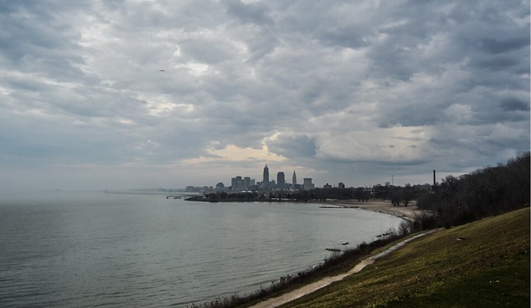
Lake Erie And Boaters
Boaters will want to keep a close eye on Lake Erie conditions Tuesday night into Wednesday as winds swing around to the south and strengthen to 15 to 25 mph, with waves building to around 3 to 6 feet. The National Weather Service Area Forecast Discussion notes that these conditions may trigger a Small Craft Advisory. If you have lakefront or boating plans, it is smart to schedule them earlier or have an indoor backup and check for updated forecasts through Tuesday morning and again Tuesday evening.


.jpg)