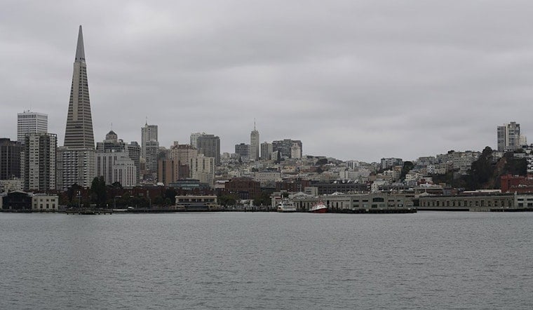
Today started on the gray side in San Francisco, with mostly cloudy skies, a cool 54°F at daybreak, and a light west-southwest breeze keeping the marine layer firmly parked over the city. The cool feel sticks around this afternoon, with highs topping out near 64°F.
Tonight: Light Rain on the Way
There is a chance of light rain tonight, with the best odds between about 9 p.m. and 5 a.m. Tuesday. Forecast totals are modest, mostly between a tenth and a quarter of an inch in spots. Showers are expected to arrive first in the North Bay, then spread across the rest of the Bay Area overnight. Ceilings may dip to MVFR at times as the system passes through. Once it moves east, drier and warmer weather is expected mid-to-late week, and northerly winds and seas will pick up heading into the weekend, according to the National Weather Service.
Commute and Flights
Evening drivers should plan on slick roads and slower-going conditions. If you are heading out after work, build in extra time and a little patience. Overnight, periods of lower ceilings and brief showers could affect SFO and other Bay Area airports and occasionally trigger delays. Before you head to the terminal, check the FAA for the latest flight updates and advisories.
Late Week Warmup
By midweek, high pressure is expected to settle in and flip the script. Temperatures should climb into the upper 60s by Wednesday and the low 70s by Friday, with the warmest readings, in the low to mid 70s, likely on Saturday and Sunday. After the cool and cloudy start to the week, the city will feel drier and sunnier heading into the weekend.
The takeaway for now: grab a light jacket for today, keep an umbrella handy for tonight's plans, and give yourself extra travel time if you will be on the roads or at the airport. Boaters and mariners should keep an eye on updated forecasts as winds and seas build later in the week.


.jpg)