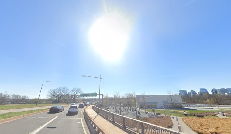
As of 5:35 a.m. EDT on Sunday, May 17, 2026, skies over Washington, D.C. were clear and the mercury sat in the mid-60s at Reagan National. The heat is the headline, with a spike into the upper 80s to around 90°F expected by late afternoon and steamy nights holding in the mid-60s to low-70s. Keep an eye on the late-day radar, since spotty showers and a few thunderstorms are possible after about 5 p.m., and the bigger change arrives midweek.
Afternoon Heat And Storms
Forecasters say Sunday will top out near 90°F, with highs climbing to about 94°F on Monday and as hot as 96°F on Tuesday, near record territory in places, while the chance for isolated afternoon storms stays on the spotty side. Any storm this evening could bring brief heavy rain, frequent lightning, and gusty outflow winds that may reduce visibility on city streets. These numbers and timing come from the National Weather Service.
Commute And Outdoor Plans
Outdoor plans are safer in the morning or early afternoon; late-afternoon practices, festivals, and the evening commute are most at risk for sudden downpours and gusts that can cause brief street flooding and scattered outages. Nighttime lows will offer little relief, with 60s to low 70s expected Monday and Tuesday, which can make the heat feel more oppressive for people without air conditioning. If you or someone you know needs a cool place to go during a sustained heat spell, the District of Columbia maintains a list of cooling-center resources and a shelter hotline for transport.
Midweek Shift
A strong cold front is expected to sweep across the region on Wednesday, May 20, bringing a more widespread chance for showers and thunderstorms and a sharp drop in temperatures. Temperatures may fall into the lower 70s by Thursday as northerly winds advect cooler air and showery conditions linger. If you have outdoor plans, keep an eye on watches and warnings later in the week, since the front could produce stronger storms in the afternoon and evening hours.
Quick tips: hydrate, move strenuous activity to the coolest part of the day, and secure lightweight patio furniture before any storms try to relocate it for you. Drivers should expect spotty late-day slowdowns and standing water after heavy cells, and watch for updates and short-notice advisories through the day. Hoodline will monitor changes and publish updates if heat or storm alerts are issued.


