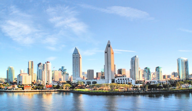
San Diego woke up Monday, May 11, under a thick marine layer along the coast, but the gray gloom will not last. Forecasters say those low clouds will burn off to mostly sunny skies by this afternoon, with coastal highs landing near a comfortable 72°F. Inland is a very different story: valleys and the Inland Empire are heating up into the 80s and 90s, while the lower deserts are expected to blast into the 105°F to 110°F range. Morning fog and low clouds will hang tight near the water for a while, but most coastal neighborhoods should see clearing by early afternoon.
Heat Advisories
The National Weather Service in San Diego reports that an Excessive Heat Warning remains in place for the county’s desert zones through 8:00 PM PDT on Monday, May 11. Nearby inland valley areas are under heat advisories for today as well. If you are headed into the deserts or working outside, the guidance is basic but serious: drink plenty of water, take regular breaks in the shade or in air conditioning, and check in on older neighbors or anyone who does not have AC. For the latest watches and warnings, head to NWS San Diego.
Where To Cool Off
To help people ride out the heat, the City and County have activated Cool Zones, which include air conditioned libraries and recreation centers open to anyone who needs a break from the hot, dry air. Two frequently listed sites are Azalea Recreation Center (2596 Violet St.) and Pacific Beach Recreation Center (1405 Diamond St.). For the complete list of locations and hours, visit the San Diego County Cool Zones page. You can also call 2-1-1 if you need help finding a site or arranging transportation.
What To Expect This Week
The dome of high pressure driving today’s heat will ease a bit by midweek, allowing stronger onshore flow to deepen the marine layer from Tuesday through Thursday. That will trim a few degrees off inland highs and bring cloudier mornings at the coast, with milder afternoons for a couple of days. Winds may kick up on Wednesday, with west winds of about 5 to 15 mph and localized gusts up to roughly 25 mph in mountain passes. By Friday, a warming trend is expected to return and build into the weekend, pushing inland temperatures back above seasonal norms on Saturday and Sunday.
Quick Tips
If you are planning to be outside, try to keep the heavy activity to early morning or late afternoon, wear sunscreen, and keep water handy, especially if you will be inland. Anyone who is vulnerable to heat illness should make use of Cool Zones or reach out to local services for extra help staying safe.


