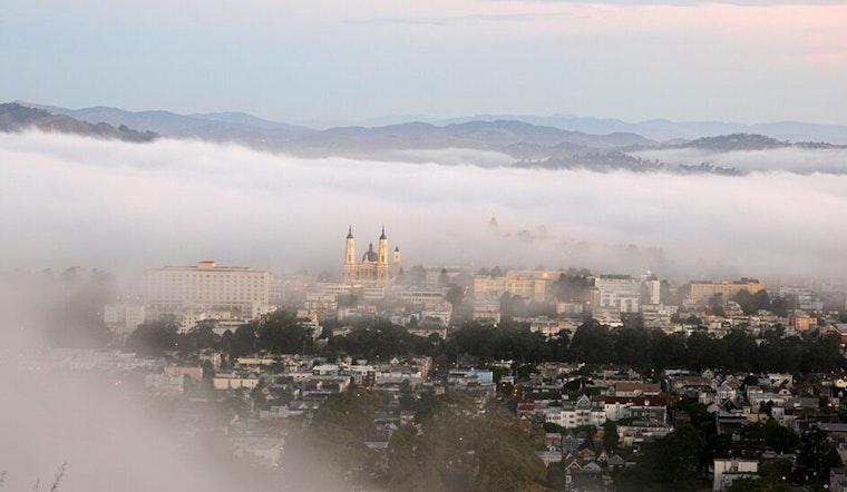
San Francisco started the day under a blanket of low clouds and a cool 55°F, with the marine layer still parked over the city. The gray should thin out by late morning, with afternoon highs landing in the mid-60s before slipping back into the low-50s tonight.
Afternoons Turn Sunny and Mild
According to the National Weather Service, skies will steadily clear through the day and the city should top out near 66°F, with a west breeze and afternoon gusts reaching into the upper teens. A ridge is expected to build later in the week, pushing inland highs into the 80s and even the 90s from Sunday through Tuesday, creating a moderate heat risk for some interior neighborhoods.
Heat Resources For Inland Days
If you do not have air conditioning, plan to shift strenuous outdoor activity to the morning or evening once the inland warming arrives. Public cooling centers, libraries and pools remain solid options for a break from the heat. The SF Department of Public Health maintains a heat resources sheet and a list of cooling center links so residents can find nearby air-conditioned spaces.
Afternoon Winds and Offshore Advisories
Onshore west winds will crank up this afternoon, with gusts reaching into the upper teens, and the marine layer is expected to rebuild overnight before Thursday. The National Weather Service has posted Small Craft Advisories for waters from Point Arena to Point Reyes and from Point Pinos to Point Piedras Blancas for Thursday night into early Friday, so mariners should be ready for choppy seas and use extra caution. For more details, check the National Weather Service forecast discussion.
What To Bring
For commuters, a light jacket will handle the morning marine layer, and sunglasses will come in handy once the sun breaks through in the afternoon. Before boating or heading inland this weekend, check the latest forecast, and look up local cooling centers if you need a place to cool off during the warmer inland stretch.


