Clouds are lingering over Portland International Airport this morning with temps near 41°F, but they are not sticking around for long. As high pressure builds, skies should turn mostly sunny by later today and send Sunday’s high toward 67°F. Northwest winds stay on the gentle side at 2–7 mph, and tonight’s low drops to around 47°F under clearing skies.
Afternoon And The Week Ahead
The cool, gray stretch is giving way to a legitimately pleasant run of afternoons. Monday, May 18, is expected to be sunnier with a high near 72°F and gusts up to 18 mph, then temperatures nudge into the mid-70s by Wednesday, May 20. By Thursday, May 21, inland valleys may flirt with the upper 70s, and there is a growing 15–35% chance of hitting 80°F late in the week, with odds ticking up again on Saturday, May 23, according to the National Weather Service Portland.
Marine And Wind Concerns
Out on the water, the story is less mellow. A Small Craft Advisory remains in effect for the Columbia River Bar through early Sunday morning, and another advisory for coastal waters south of Cape Foulweather is expected this afternoon into the evening. Recent rough seas and strong ebb currents made crossings tricky on Saturday, so small or unstable vessels are better off waiting for calmer conditions. For a reminder of how gnarly it just was, check out the cold rain, thunder and gusty winds that hit the area.
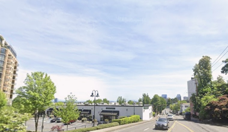
Commuters And Outdoor Plans
For everyone on land, expect some morning low clouds or brief sea fog that should clear by midday. That sets up a pretty solid afternoon for errands, grabbing a patio table or squeezing in a short hike. If you are heading to the coast, tie down loose gear and double-check the marine forecast before launching. Pilots and travelers can plan on predominantly VFR conditions at PDX through this evening.


