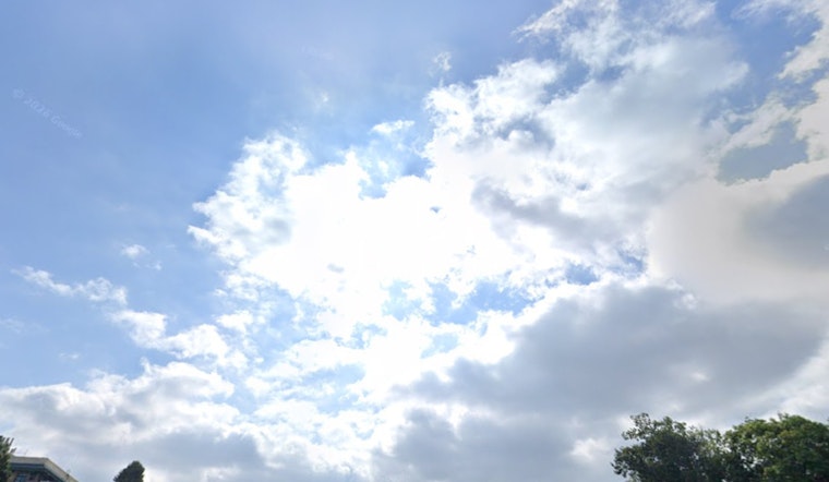
Portland started Friday under a cool blanket of clouds and will keep that gray ceiling for most of the day, with temperatures topping out near 60. Showers are set to move back in tonight and linger into Saturday, and occasionally gusty southwest winds will join the mix, so a rain layer is a smart accessory for any evening plans.
This Afternoon And Evening
After about 5 p.m., look for a growing chance of rain showers, although many neighborhoods may only see light amounts. Highs should peak around 60 before slipping into the upper 50s. Southwest winds will generally run 3 to 12 mph, with gusts up to about 22 mph. Exposed bridges and hilltops will feel the breeze more than the numbers on the thermometer might suggest.
Tonight Into Saturday
Showers will pick up after sunset, with showers and thunderstorms likely overnight. The low will drop to around 46 before temperatures rebound into the upper 40s. Saturday is shaping up to be the soggiest day of the stretch, with showers and thunderstorms likely much of the day, inland highs near 59, and roughly a 90% chance of measurable rain in many spots. Any thunderstorms should be brief but could bring lightning, small hail, and short bursts of heavy rain, mainly along and north of a Salem line, according to the National Weather Service Portland.
Cascades And Travel
Colder air aloft will drive snow levels down to roughly 3,500 to 4,000 feet tonight through Saturday night, which could mean light snow for the Cascade passes. Government Camp and nearby higher routes are the most likely spots to see travel impacts. Some higher elevation roads could pick up several inches, so mountain travelers should check road reports and carry chains or other traction devices. For the latest road conditions, head to ODOT TripCheck.
Marine Outlook
Small Craft Advisories are posted from this afternoon into late Saturday for portions of the outer coast and the Columbia River Bar. Seas are expected to build to about 10 to 12 feet overnight, with strong ebb currents shortening wave periods and making for rougher conditions. Recreational boaters should steer clear of exposed bars during strong ebb tides and secure loose gear, and mariners are urged to review official marine forecasts and statements before heading out.
Plan Ahead
For Friday evening outings, bring a waterproof layer and plan for occasional gusty spots on exposed routes. Drivers of taller vehicles and cyclists should give themselves a little extra time. Transit riders may want to check service alerts before they head out, and anyone traveling to the coast or the Cascades should review updates from the National Weather Service and ODOT before leaving town. The unsettled pattern is expected to ease by Sunday, with drier and warmer conditions looking more likely as early as next week.


