Knoxville woke up on the soggy side Thursday, with cloudy, muggy skies, temperatures near 55°F, and patchy light showers greeting the early commute. Showers are most likely before 11 a.m. and should taper by mid-afternoon, with temperatures climbing to a high near 68°F and light north winds around 5 mph. It is a small-umbrella morning, but most outdoor plans look noticeably drier later in the day.
Quick Update
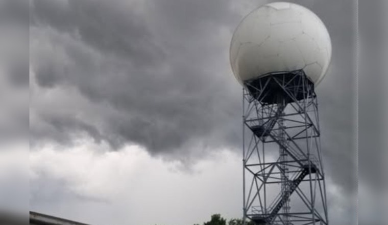
According to the National Weather Service in Morristown, the severe-storm threat has wrapped up, and the flooding risk is now low after overnight rounds of rain. Forecasters say a cold front will slide through this morning, and any additional rainfall should be light, generally between a tenth and a quarter of an inch where showers pass.
Afternoon Commute
By the afternoon commute, expect mostly cloudy skies with highs around 68°F and north winds near 5 mph. Roads should steadily improve once the morning showers end. Low-lying stretches south of I-40 that picked up heavier bands overnight could still have some ponding on the pavement, so use caution in those usual trouble spots. For a deeper dive on where the worst standing water showed up, see our earlier coverage on street flooding hot spots.
Weekend Outlook
The National Weather Service Morristown says drier, warmer air builds in Friday with sunshine and highs near 72°F. Saturday looks to be the warmest day, with highs near 77°F and a slight afternoon chance for showers and gusts up to 20 mph. Sunday brings a better shot at showers and thunderstorms, with the highest odds late Sunday into Sunday night.
What To Know
Give yourself extra time for the Thursday morning drive and avoid standing water on low roads; most of the region should be drying out by mid-afternoon. If you have outdoor plans Sunday night, keep an eye on updated forecasts, as that is when storms are most likely to roll back into the area.


