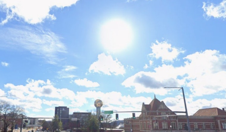
Tuesday, May 12, 2026, starts off mostly clear and cool across Knoxville, with early morning readings in the upper 40s to mid 50s and plenty of sunshine on tap. Afternoon highs should climb to around 78°F under light winds, a setup tailor-made for errands, dog walks, or a lunch break outside. Patchy fog may linger in low-lying river corridors before mid-morning, so take it slow on bridges and shaded stretches where visibility can drop without much warning.
Afternoon Storm Chances Wednesday
A cold front slides in on Wednesday, May 13, bringing a 30 to 40 percent chance of showers and scattered thunderstorms, mainly after 2 p.m. Most spots that do see rain should only pick up light amounts, well under a tenth of an inch. The wind is the bigger story, with gusts expected to reach 30 to 40 mph on the highest peaks and 20 to 30 mph in the valley. The overall severe threat looks low, but an isolated stronger storm still cannot be ruled out, so keep an eye on the National Weather Service Morristown for updated timing and any watches that might be issued.
Plan Ahead For The Week
Today is your best bet for smooth commuting and outdoor plans, although it never hurts to have a light rain jacket handy if you are out and about Wednesday afternoon. If you live on exposed ridges or near bridges, take a minute tonight to secure lightweight patio furniture and umbrellas, since those gusty winds will be most noticeable in those spots. Looking beyond the front, warmer and drier weather settles in for the weekend, with highs climbing into the upper 80s to low 90s by Sunday and Monday, a trend highlighted in a recent update that called out upper 80s to low 90s for Knoxville.


