Fog and mist are shaving down visibility across the Memphis metro early this morning, with readings near 5 miles at Memphis International and temperatures parked around 70°F. The soupy start could slow commutes in low-lying areas and on bridges, so leave a little early if you can. Keep the headlights on and be ready for pockets of reduced visibility through the early morning hours.
Afternoon Storms Likely
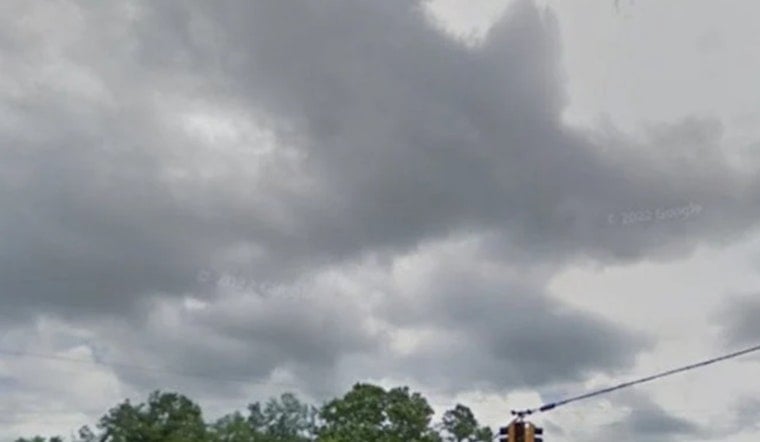
Showers and thunderstorms are expected to build through the late morning and into this afternoon, with a high near 78°F and a very high chance of rain during the peak heating hours. Brief but heavy downpours could drop a quarter to a half inch of rain in short bursts, leading to slick streets and some localized ponding. Forecasters with the National Weather Service are urging residents to keep an eye on radar updates and any local warnings that may be issued.
Through Memorial Day Weekend
The unsettled, muggy pattern looks set to linger into the holiday weekend, with daily rounds of showers and thunderstorms and highs mostly in the upper 70s to low 80s. Friday currently carries the greatest chance for heavier totals, when some spots could pick up three quarters to an inch of rain, and there is a low-end threat for gusty storms and localized flooding. This continues the trend flagged in Memphis turns into steam bath.
Plan For Wet Conditions
Drivers should plan on wet roads and brief visibility reductions under stronger cells. If you have outdoor plans, consider shifting them earlier in the day or moving them indoors, and secure any loose yard items that could blow around in gusty storms. Check local traffic and transit notices before heading out, and keep a weather-alert app or NOAA weather radio close by in case any sudden warnings are issued.


