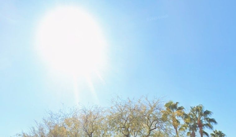
Phoenix rolled into Sunday under clear skies and temperatures hovering near 79°F, but the calm start is not sticking around. For today, May 3, 2026, expect a hot afternoon that tops out near 96°F, with dry air that will make it feel every bit as toasty. Breezy southeast winds will kick up through the day, turning gusty by evening and nudging fire-weather concerns into the elevated range.
Afternoon Winds Pick Up
Southeast winds around 5 to 10 mph this morning are forecast to strengthen by afternoon and evening. Gusts should reach about 20 to 30 mph across metro Phoenix, with peak gusts of 25 to 35 mph possible over portions of the lower deserts. Areas west toward the Imperial Valley could briefly see even stronger gusts and pockets of blowing dust. Wind Advisories are in place this evening for parts of nearby Imperial County, California. For official statements and any last-minute changes, check the National Weather Service Phoenix.
Hoodline Update
We covered a similar setup in mid April, and this update mainly tweaks the timing of the quick cool-down and flags some locally stronger gusts. If you want the backstory and earlier expectations, you can find them in our previous piece Valley Wakes To Howling Winds As Weekend Heat Cranks Up.
Cooler Start To The Week
An inland low pressure system slides in to take the edge off the heat, knocking afternoon highs back into the low to mid 80s on Monday, May 4, and near 79°F on Tuesday, May 5. Most valley neighborhoods are expected to stay dry. Higher terrain east of Phoenix could see a few light showers or some virga late Monday into Tuesday, although measurable rainfall across the metro looks unlikely. The forecast discussion from the National Weather Service highlights both the timing of this change and how short lived the cool-down will be.
What To Do
Secure patio furniture and any loose outdoor items, put off yard burning, and try to schedule heavy outdoor work for the morning or late evening while humidity stays very low. The City of Phoenix has extended hours at cooling centers, along with a 24/7 respite site downtown; call 2-1-1 or check the city’s heat resources for exact locations and hours. See the City of Phoenix for more on available services and transit options.
Heat Returns Late Week
The reprieve does not last long. High temperatures rebound into the mid 80s on Wednesday, then push into the mid 90s on Thursday. Forecast guidance points to a rapid warm-up into the triple digits by Friday and Saturday, with Friday near 101°F and Saturday close to 103°F. As an upper level ridge rebuilds, expect lighter winds and very low humidity late in the week. If you are planning outdoor events or long stretches outside, keep tabs on the forecast for any updated heat safety guidance.


