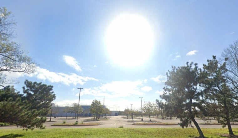
Portland is getting its warm-up in early. Friday started out clear and around 55°F at Portland International Airport (PDX), and inland neighborhoods are still on track to climb into the low 80s by mid-afternoon. Head a little closer to the coast or riverfront, though, and it is a different story, with a shallow marine layer keeping temperatures noticeably cooler and a brisker breeze near the water.
Afternoon Winds Pick Up
North-northwest breezes are expected to run about 3 to 9 mph this afternoon, with inland gusts around 18 to 21 mph and low-20s gusts possible on exposed bridges. Small Craft Advisories are in effect for coastal waters south of Cape Falcon through 11 PM PDT, and seas are forecast to hold near 6 to 9 feet into the weekend, according to the National Weather Service Portland.
Weekend Outlook
High pressure keeps things dry through Saturday and Sunday, with highs near 79 on Saturday and around 80 on Sunday before clouds start to build late Sunday. A frontal system moves in late Sunday night and brings rain that becomes likely on Memorial Day, Monday, May 25, 2026, dropping daytime highs into the mid-60s. If you have outdoor plans Monday, plan on trading the sunscreen for a rain layer.
Boaters And Memorial Day Plans
The front could come through with some punch on Monday, with a moderate chance of gusts topping 25 mph, which is strong enough to rattle tents and send unsecured patio gear tumbling. Mariners should also be ready for building seas, with a reasonable chance waves reach above 10 feet by Monday if the system trends stronger. For the latest timing and advisories, consult the National Weather Service Portland.
We published an earlier post yesterday flagging this brief warm stretch; Portland sizzles before Memorial Day rain called the warm day and noted the incoming front. This update adds the newest NWS timing and marine details.


