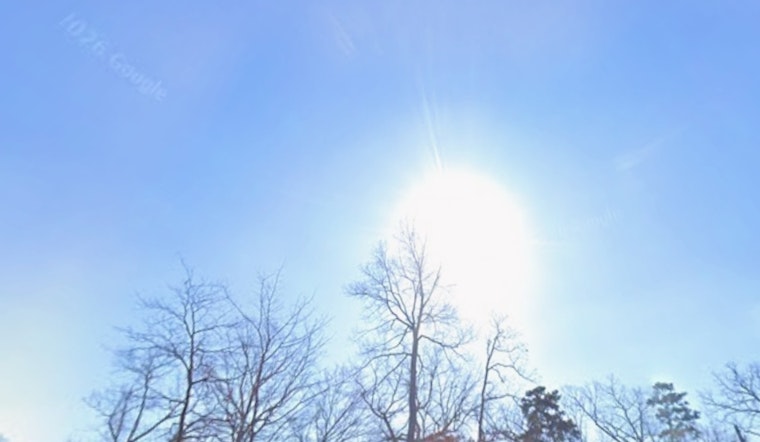
Raleigh started Saturday on a deceptively pleasant note, with mostly clear skies and a cool 55°F at Raleigh–Durham. That early chill will not stick around. Strong sunshine will send afternoon highs into the mid 80s, topping out near 86°F. After a warm weekend, the real heat arrives with low to mid 90s by midweek, and the first decent shot at rain holding off until later in the week. If you are planning yard work, sports, or events outside, try to shift the heavy lifting to the cooler morning or evening hours and keep water close.
Heat Builds Fast Through Midweek
Today stays sunny and dry with a high near 86°F, then a mild night with lows around 63°F. Temperatures climb quickly from there. Look for highs near 91°F on Sunday, May 17, then around 93°F on Monday and Tuesday, May 18 and 19, before pushing into the mid 90s by Wednesday, May 20. A frontal system is expected to move in later in the week, bringing showers and thunderstorms mainly on Thursday, May 21, followed by a cooler turn on Friday.
Thursday Brings The Best Shot At Storms
According to the National Weather Service, Thursday’s storms could be locally heavy with brief downpours and gusty winds, with rain chances climbing into the 60 to 70 percent range on May 21. For now, there are no watches or warnings posted for Wake County, but that could change if storms organize, so it is worth keeping an eye on late week updates, especially if you will be on the roads Thursday evening.
How To Plan
As the heat builds, schedule outdoor plans for early morning or late evening, wear lightweight clothing, and keep plenty of water on hand for kids and pets. If you have outdoor events lined up for Thursday, May 21, check radar before you head out, since brief heavy rain or gusty winds could slow the evening commute or send activities scrambling for cover. We first flagged this late week pattern shift in our earlier report on how Raleigh is set to sizzle, and we will update if any watches or warnings are issued.


