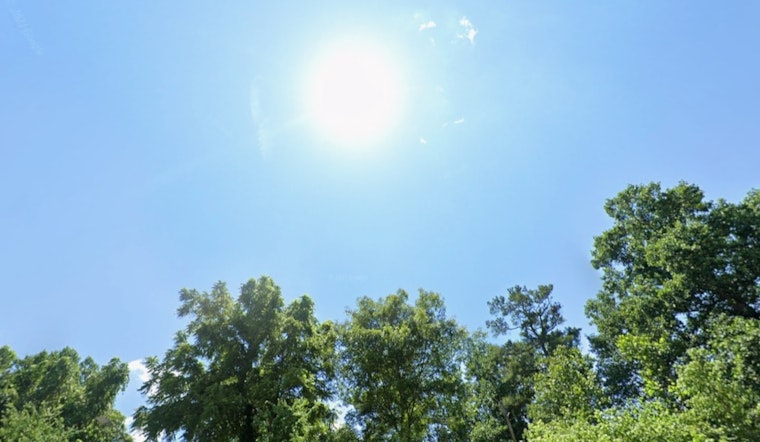
Raleigh is waking up Thursday under mostly cloudy skies and a cool 57°F at Raleigh–Durham, but the gray start will not last. Clouds should peel away through the morning, giving way to a sunny afternoon with a high near 71°F. Northwest winds will keep it breezy, and there are still no watches or warnings posted for central North Carolina. The real headline is how fast the heat arrives this weekend and hangs on into next week.
According to the National Weather Service Raleigh, today tops out near 71°F with northwest winds of 6 to 13 mph and gusts that could reach into the 20s. Tonight dips into jacket weather again, with a low around 49°F in the upper 40s. After that, the thermostat starts climbing in a hurry. Highs jump into the upper 80s on Saturday, then push into the lower 90s Sunday and early next week. Most areas look to stay on the dry side, with any brief storms expected to produce under a tenth of an inch of new rain.
Heat Builds This Weekend
By Saturday and Sunday, afternoons turn noticeably hotter and evenings more muggy, with early next week featuring highs in the lower 90s. We first flagged this late-week warmup in our report last Sunday (late-week warmup), and the numbers have only ticked higher since. If you need a break from the afternoon heat, the City of Raleigh suggests ducking into libraries, community centers, pools or other local cooling options.
Afternoon Winds Pick Up
The National Weather Service Raleigh also highlights breezy northwest winds for today and into the afternoon, generally 6 to 13 mph with gusts that could reach the 20s. That may make for tougher bike rides and send unsecured lawn chairs tumbling across the yard. Winds should ease after sunset, then flip to a lighter southwest flow as warmer air takes over for the weekend.
Rain Chances Stay Low
Aside from a few isolated late-afternoon pop-up storms, rain chances stay on the low side through the forecast period. A slight increase in typical daytime showers and a few thunderstorms is possible by Wednesday afternoon and evening, but most weekend plans should stay safely dry.
Stay Cool And Where To Go
With highs headed into the 90s for parts of next week, it is a good idea to plan runs, yard work and other outdoor time for early morning or later in the evening and to keep water handy. For detailed tips and a rundown of local cooling options, check the City of Raleigh before you head out into the heat.


