Saturday morning, May 30, Boston woke to mostly cloudy skies and temperatures in the low 50s, with patchy fog and a few early showers possible. A cool ocean-tracked system will keep afternoon highs in the low 50s and make for a raw, blustery day through the afternoon. Expect wind to ramp up from the north this morning and remain the main story through the evening.
Winds And Advisories
According to NWS Boston, a Wind Advisory is in effect from 8:00 AM to 8:00 PM EDT on Saturday, May 30, with northeast to north winds generally 15–30 mph and gusts commonly 35–55 mph. Cape Cod and Nantucket have been upgraded to a High Wind Warning with a small chance of isolated 60 mph gusts. The same forecast package notes a high chance of showers and a few thunderstorms today and new rainfall amounts around a half to three quarters of an inch in places.
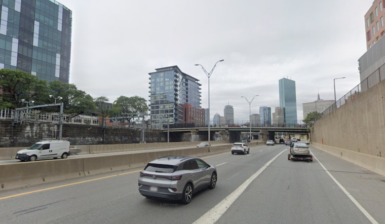
Afternoon Commute And Ferries
Weekend travel could be slow, with ferry runs likely to be rough, delayed, or canceled, and exposed streets feeling much colder in the wind. Riders should also factor in scheduled MBTA service work this weekend. See this weekend's MBTA work for the latest on planned service changes that could complicate alternate routes.
Marine And Coastal Impacts
Offshore waters will be dangerous today, with seas expected to build to around 12–14 ft well offshore and 5–8 ft nearshore, and Gale or Storm-level conditions possible on the outer waters. High surf and strong rip currents are likely at east-facing beaches, and mariners and beachgoers should postpone nonessential trips and stay away from jetties and exposed rocks.
What To Expect Tonight And Into Next Week
Winds ease tonight with skies becoming partly cloudy and a low near the mid-40s. Sunday should be drier with highs climbing into the mid-60s and a chance of afternoon showers. Early next week stays a bit cool and showery at times before a warmer, sunnier trend returns later in the week.
Plan Ahead
Secure loose outdoor furniture and trash cans, avoid travel near coastal exposures during peak gusts, and give yourself extra time if you are taking ferries or driving high-profile vehicles. For official timing and the latest warnings, follow the National Weather Service and monitor local transit advisories before heading out.


