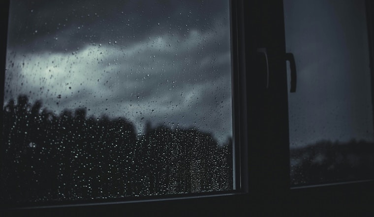
Indianapolis woke to muggy, mostly cloudy skies early today, with temperatures near 61°F and a light northeast breeze. The day is expected to warm into the low 80s, although a small chance of late afternoon showers could complicate outdoor plans. The real story, though, is an increasing risk of heavier showers and thunderstorms tonight into Wednesday, with the wettest window after sunset and into the overnight hours. Commuters should be ready for a soggy evening drive across much of the city and pockets of brief heavy rain.
When The Rain Will Fall
A slight chance of rain is on the table this afternoon, roughly between 4 and 5 p.m. today, before storms become more likely after dark. Most forecast guidance brings steadier, heavier rain overnight, with showers and thunderstorms likely Tuesday night and lingering into Wednesday morning. New rainfall amounts overnight are expected to run generally between a tenth and a quarter of an inch, with localized higher totals where storms train over the same areas. For local hour-by-hour timing and forecast details, see the National Weather Service forecast.
Flash Flooding Risk
Forecasters at the Indianapolis office note that an anomalously moist air mass and slow storm motions could produce efficient rainfall rates, which bumps up the chance of localized flash flooding late Tuesday into Wednesday. The office's forecast discussion highlights the potential for training storms and pockets of high rainfall rates that could lead to urban and small-stream flooding in poor-drainage neighborhoods. If you live in low-lying areas or near creeks, move vehicles to higher ground and avoid driving through standing water. Turn around, do not drown. See the National Weather Service discussion for more technical context.
What To Expect This Week
Wednesday, May 27, 2026, will stay mostly cloudy with showers and thunderstorms likely before mid-afternoon and localized totals in spots between a quarter and a half inch. Rain should taper Wednesday evening as the disturbance shifts southeast, with drier and mostly sunny conditions returning Thursday and lasting into the weekend. Highs will generally sit in the upper 70s to low 80s. That means most outdoor plans later this week should be in decent shape, but it is worth keeping an eye on the timing for any Wednesday events and checking official forecasts and local alerts before heading out.
Related Coverage
We covered the potential for late-day storms earlier this spring, and readers looking for background and storm-prep tips can revisit our prior piece. Evening commute storms has additional safety guidance and preparedness suggestions.


