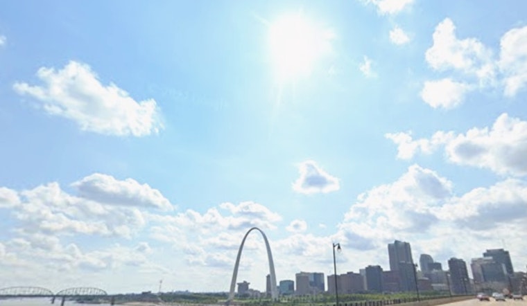
St. Louis started Saturday on a cool, calm note, with partly cloudy skies and temperatures in the mid 40s. By afternoon, the metro is expected to climb into the low 60s, with light north winds keeping things comfortable and mostly dry. In other words, it is one of those rare spring days that practically begs for a walk in the park. Tonight stays quiet and mostly clear, with lows settling into the low 40s.
Weekend Snapshot
Saturday’s high should top out near 62°F under partly sunny skies, with a gentle north breeze around 3 to 10 mph. Tonight, temperatures dip to around 43°F. Sunday turns noticeably warmer, jumping into the mid 70s, and the atmosphere starts to wake up a bit.
Forecasters are watching a slight chance of showers or an isolated thunderstorm Sunday afternoon, mainly between about 1 p.m. and 4 p.m. Southwest winds could gust into the low 20s mph, so it might be a good idea to secure lightweight patio furniture and any loose items before you head out. These details come from the latest National Weather Service forecast discussion for the St. Louis area.
Monday–Wednesday Outlook
Things really ramp up early in the workweek. Monday’s highs jump into the upper 70s to around 81°F as a slow moving front approaches, setting the stage for multiple rounds of showers and thunderstorms from Monday through Wednesday.
The main push of energy is expected Monday night into Tuesday, when rain chances peak and the risk for locally heavy downpours and brief gusty winds increases. Confidence in widespread severe storms remains low, but pockets of heavier rain could still trigger brief street flooding and make for soggy evening commutes. By Wednesday, the front starts to move out and highs slip back toward the 60s.
Plan Ahead
If you have outdoor events lined up for Monday or Tuesday, it would be smart to have a rain backup or an indoor option in your back pocket. Travelers should allow extra time for slower traffic and possible localized ponding on roadways.
Forecasters also flag that additional rainfall may worsen minor flooding on some local streams and rivers, so residents in low lying areas should pay close attention to updates. Before you head out, check the National Weather Service and local emergency pages for the latest watches and warnings.


