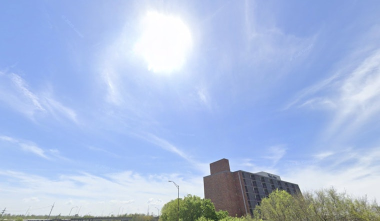
Monday, May 18, 2026: New Orleans started the day warm and swampy, with mostly clear skies, temperatures in the mid-70s, and dew points in the low 70s. The rest of the day stays on the sticky side, with a high near 86°F and southeast winds around 10–15 mph. There is a slight chance of brief showers or an isolated thunderstorm this afternoon, mainly between about 3 and 4 p.m. Any heavier downpours could quickly cut visibility and slow traffic on neighborhood streets and highways.
Afternoon Storms Focus West Of I‑55
Forecasters have trimmed back rain chances for today, but the Baton Rouge area and locations west of Interstate 55 are still pegged as the most likely spots for pop-up storms. A few of those cells could become locally strong with gusty winds and heavy rain. That call comes from the National Weather Service forecast discussion, which highlights isolated to scattered activity today and an increased eastward spread of showers and thunderstorms Tuesday into midweek. According to the National Weather Service New Orleans/Baton Rouge, new rainfall amounts where storms do form should generally stay under a tenth of an inch today.
What To Expect This Week
Rain chances climb Tuesday and Wednesday, with more widespread coverage expected Thursday into the weekend and daily afternoon storms likely through Saturday. Humid air will stick around, and repeated afternoon convection could lead to localized flooding in spots, with Baton Rouge and nearby parishes singled out for the highest day-to-day storm frequency. Temperatures will hold mainly in the mid-80s, so outdoor plans are best aimed at the mornings or backed up with a quick plan B.
Boaters And The Commute
Boaters should be ready for building onshore winds and choppier bay conditions; winds and seas can spike quickly in and near thunderstorms. Drivers may want to toss a lightweight rain jacket in the car and expect wet roads and slower travel during heavier downpours, so allow extra time for evening commutes. Per the National Weather Service, overnight lows will hover near the mid-70s.
No watches or warnings are in effect for the immediate New Orleans area this morning. Conditions can change quickly, so check the National Weather Service before heading out and keep an eye on radar if you have outdoor plans later today.


