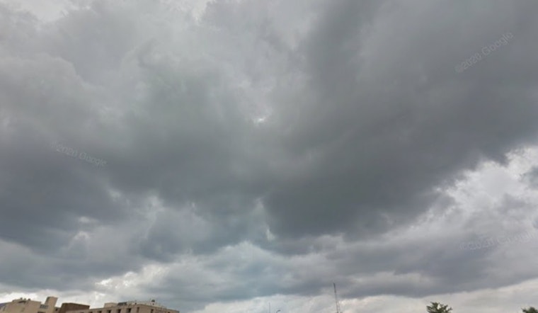
St. Louis rolled out of bed Friday, May 15, under a blanket of mostly cloudy skies, temps in the low 60s, and a stiff breeze out of the south. A few showers or a rogue thunderstorm could still clip the morning commute, mainly before 10 a.m., before clouds thin to partly sunny skies and afternoon highs shoot into the mid-80s. Gusty south winds through the day may whip up brief heavy downpours and make keeping an umbrella upright feel like a contact sport.
Today And The Week Ahead
Forecasters peg the chance of morning storms at about 40%, with a high near 85°F, south winds around 9 to 13 mph, and gusts pushing roughly 20 to 25 mph. Saturday is expected to deliver another round of showers and thunderstorms, most likely late morning into early afternoon, while Sunday is shaping up mostly sunny and much hotter, with highs in the low 90s. A cold front is then expected to edge toward the region sometime between Monday and Wednesday, which could help fire up more widespread storms next week, though the exact timing and punch are still uncertain. For the latest specifics on when that front arrives and how strong it might be, check the National Weather Service.
Plan For Your Commute
Metro Transit is not reporting any weather-related service alerts at the moment, but riders are urged to sign up for rider alerts and budget extra travel time if a morning downpour moves in, according to Metro Transit. A light rain jacket is a smarter bet than a flimsy umbrella, and drivers and cyclists should steer clear of flooded streets. Even short-lived bursts of heavy rain can leave behind standing water, and when you add in those gusty winds, conditions can get dicey fast, especially on highways and bridges.


