El Paso started Tuesday under clear skies and sticky, mild air, with temperatures near 59°F at the airport. The day heads toward a bright, mostly sunny afternoon with a high around 86°F. Most of the valley should stay dry, although isolated mountain showers or a stray thunderstorm could pop up later in the day.
Afternoon Mountain Showers Possible
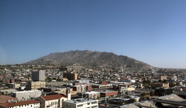
Any meaningful rain is expected to favor the higher terrain this afternoon, not the city. Brief downpours, lightning, and gusty outflow winds are the main concerns if storms manage to develop. According to the National Weather Service El Paso, rain chances in the lowlands remain low, with the best odds focused on the Gila and Sacramento ranges.
Temperatures Through The Week
High temperatures climb into the upper 80s and low 90s by midweek, landing near 89°F on Wednesday and around 93°F on Thursday. Forecasters note that it is still a few degrees below typical late May levels, and triple-digit heat is not on the table. We flagged the gustier pattern in earlier Hoodline coverage on an afternoon dust-up, and that trend toward breezy afternoons is expected to continue into the holiday weekend.
Fire Weather And Wind Outlook
From Wednesday through Saturday, a dry southwest flow is expected to deliver breezy afternoons and elevated fire-weather concerns, especially for areas west of the Rio Grande Valley. Secure loose outdoor items, skip any open burning, and keep in mind that even a single afternoon storm in the mountains could send out strong, gusty outflows and dangerous lightning into otherwise dry country.
Plan Ahead
The valley commute should roll along with a few weather issues, but anyone headed to mountain trails, festivals, or outdoor job sites should keep an eye on the sky this afternoon. If you are venturing into higher terrain, bring rain gear, have a quick plan to get to a lightning-safe shelter, and check the latest forecast before you head out.


