New Orleans is waking up cloudy, muggy and already sticky, with temperatures hovering around 70°F and the humidity making it feel warmer than the numbers let on. Showers and thunderstorms are on tap for Friday, May 8, with the storm risk ramping up from late morning into the afternoon.
Afternoon And Weekend Outlook
Forecasters are calling for a chance of showers and thunderstorms between about 7 a.m. and 1 p.m., with storms more likely from roughly 1 to 4 p.m. Highs should reach near 78°F before slipping back into the mid 70s. East winds around 5 to 10 mph and overall rain chances near 70 percent mean most neighborhoods can expect about a tenth to a quarter of an inch of rain, with heavier downpours possible inside stronger cells.
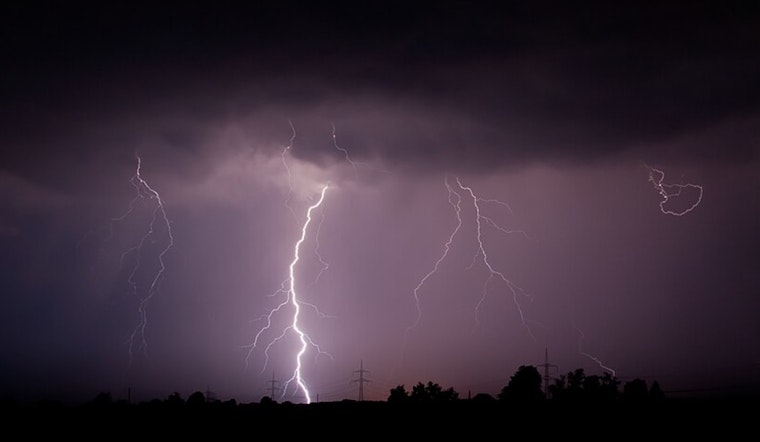
Late tonight and into Saturday, a stronger disturbance is set to move through, bringing more numerous showers and embedded thunderstorms. A few of those could drop 1 to 2 inches of rain in a short burst, enough to cause ponding and isolated flash flooding on Saturday, May 9. According to the National Weather Service New Orleans and the NWS forecast discussion, there is a marginal risk of excessive rainfall through Saturday that could be upgraded if storms organize a bit more than expected.
Marine, Wind, And Travel Impacts
On the water, southeast winds will return to about 10 to 15 knots on the lake and coastal waters this afternoon, with gusts up to roughly 25 mph possible tonight. That will make for choppy small-craft conditions and help push heavier showers and storms inland.
On land, brief heavy downpours can quickly cut visibility and lead to temporary street flooding that will slow buses, streetcars and drivers alike. Never drive through standing water, no matter how shallow it looks. If you have outdoor plans, it might be wise to move them inside or push them to Sunday, May 10, when drier, more stable conditions are more likely.
Bottom Line
From Friday into the weekend, expect an unsettled stretch, with the wettest window late tonight into Saturday, May 9. Pockets of urban flooding are possible. For more context on how this pattern set up, see our May 7 rush-hour soaker forecast; we will post updates if any watches or warnings are issued.


.jpg)