If you step outside in Indianapolis this Wednesday expecting a full-on warmup, the city has a breezy reality check waiting. The day is starting off cool and mostly dry after some early light showers, with temperatures in the mid to upper 50s and skies clearing through the morning. Afternoon highs should land near 67°F, but a brisk northwest breeze will keep it feeling cooler on exposed streets, patios and ballfields. Outdoor plans are fine, just be ready for some persistent gusts.
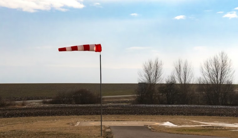
Afternoon Winds Pick Up
By later today, northwest winds will crank up into the 8 to 15 mph range, with gusts that could push up to about 26 mph, enough to scoot around lightweight patio furniture and turn an easy bike ride into more of a workout. According to the National Weather Service Indianapolis, mixing during the warmest part of the afternoon will pull stronger winds aloft down to the surface, leading to widespread gustiness across the metro.
Rain Returns Friday; Weekend Warmup
Forecasters say the pattern stays dry and seasonable through early Friday, then daily rain chances return Friday and linger into next week as a front stalls nearby. Temperatures will not stay cool for long. The weekend is expected to turn noticeably warmer, with highs climbing into the mid 80s on both Saturday and Sunday, and a low-end chance at the first 90°F reading of the year early next week, according to the NWS forecast discussion.
What To Know For Today
There are no watches or warnings in effect for Marion County this morning. The main issue today is the wind, not heavy rain. Secure loose outdoor items, give yourself a little extra time if you are biking or walking, and pick a sheltered spot if you are planning to sit outside this afternoon. Keep an eye on updated forecasts if you have Friday night or weekend plans, when showers and a few storms become more likely.


