Memphis woke up Monday to a stark reminder that water always wins. As a flash flood warning swept across the city, the City of Memphis Office of Emergency Management (OEM) pushed out photos of high water and road barricades, urging drivers and pedestrians alike to stay out of standing water. The warning covered Memphis and remained in effect until 1:00 p.m. on Monday, June 22, with officials hammering home the familiar safety mantra: Turn Around, Don’t Drown.
What the city warned
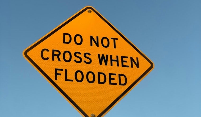
The OEM’s Facebook post showed flooded lanes and orange barricades blocking off trouble spots and spelled out a simple rule: do not try to cross floodwater in a car or on foot, according to the City of Memphis Office of Emergency Management Facebook post. The images highlighted both major corridors and neighborhood streets turned into brown pools, with “road closed” signs marking the worst stretches. OEM reminded motorists to follow detours, steer clear of low-lying underpasses, and avoid creek crossings until the water drains away.
How deep water affects people and cars
Federal forecasters have a blunt way of explaining why this matters: it does not take much water to turn deadly. The National Weather Service’s Turn Around, Don’t Drown guidance notes that 6 inches of fast-moving water can knock over and carry away an adult, 12 inches can sweep a small car off the road, and 18–24 inches can move most SUVs, vans, and trucks, per the National Weather Service. What looks like a shallow sheet of water might be hiding a washed-out roadbed or a powerful current that can overwhelm a vehicle in seconds.
Why driving through flooded roads is deadly
Federal emergency officials point out that nearly half of all flood-related deaths happen in vehicles, and that even a few inches of water can be enough to cause a driver to lose control, according to FEMA. That is why responders stress that barricades and “road closed” signs are there to save lives, not to inconvenience commuters or test anyone’s off-roading skills.
Local context
Monday’s alert followed a wetter pattern flagged earlier this month, when forecasters warned that tropical moisture could bring heavy afternoon storms and localized flash flooding to the Mid-South. For more on that setup, see how tropical moisture could bring heavy afternoon storms to the area. That kind of pattern raises the odds that urban drainage systems and low-lying crossings will fill fast when strong cells move overhead.
How to stay informed
Residents can sign up for emergency notifications and review OEM safety guidance on the city’s alerts page, which also explains how outdoor warning sirens are used, per the City of Memphis Office of Emergency Management. For the latest watches and warnings, Memphians are urged to check National Weather Service updates and local media before heading out in heavy rain.
The bottom line: if you come upon a flooded roadway, turn around and find another route. It only takes a few inches of moving water to turn a routine drive into a life-threatening situation. The city’s flood photos are a clear reminder that, in a sudden downpour, the safest bet is to assume the water is deeper and stronger than it looks and to let it win this round.


