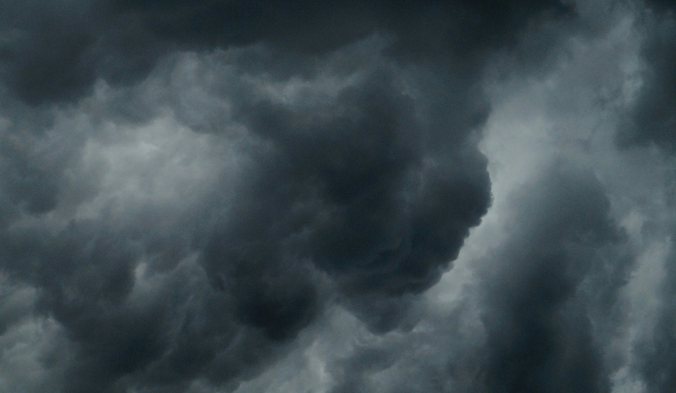
Skies over Central Florida turned mean on Wednesday afternoon as a line of severe thunderstorms rolled across the Orlando metro and along the I‑4 corridor, firing off frequent lightning and dumping heavy rain. Forecasters warned that the main threats were damaging wind gusts and large hail, while local officials urged anyone outside to head indoors and stay away from windows until the worst of the weather moved through.
According to ClickOrlando, meteorologist Jonathan Kegges said the National Weather Service issued two severe thunderstorm warnings: one for southern Orange and Osceola counties through 2:30 p.m., and another for eastern Osceola and central Brevard through 3:15 p.m. Both alerts highlighted damaging wind gusts and large hail as the primary hazards.
What the National Weather Service warned
The NWS Melbourne office outlined a marginal risk for severe storms across east-central Florida, warning of isolated to scattered wind gusts up to 60 mph, hail up to about one inch in diameter, frequent lightning, and the chance of a brief tornado in colliding boundary zones, per NWS Melbourne. Forecasters expected storm coverage to ramp up through the afternoon and early evening, with the strongest cells most likely lining up along and near the I‑4 corridor.
Timing and where to watch
Local forecasts called for storms to become more widespread through the afternoon and into the early evening, with a few cells potentially reaching severe limits near the I‑4 corridor, according to ClickOrlando. Drivers were warned to be ready for sudden drops in visibility in heavy downpours and to watch for quick road closures caused by fallen trees or debris in stronger wind gusts.
How to stay safe
The NWS advises taking shelter inside a sturdy building or vehicle, avoiding windows, and steering clear of flooded roadways; “When thunder roars, go indoors” remains the go-to guidance, per NWS Melbourne. Anyone who spots storm damage or downed power lines is urged to report it to local emergency services and avoid touching anything electrical or waterlogged.
Local broadcasters and the NWS continued to track storms on radar into the evening, with more alerts possible if warnings are extended or upgraded. This story will be updated as additional information comes in on storm impacts and road closures.


