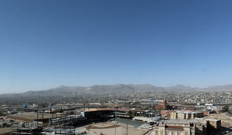
El Paso is waking up to clear, warm skies and temperatures in the low 80s near El Paso International Airport, setting the stage for a hot, breezy Saturday on June 27. Afternoon highs are expected to top out near 100°F, with a small chance of late-day storms that could drop brief downpours on parts of the metro.
Afternoon Storms And Timing
Forecasters at the National Weather Service El Paso say isolated showers and thunderstorms may fire up after 3 p.m., mainly along the international border and over the higher terrain. The overall rain chance sits near 20 percent. Any storms that do develop could kick out gusty outflow winds and short, heavy bursts of rain, but most neighborhoods are expected to stay dry.
Winds And Fire Weather
West to southwest winds should run around 5-12 mph with gusts up to 18 mph in the lowlands, with stronger gusts possible over higher terrain. That breeze will make it feel even hotter and could stir up blowing dust on exposed roads. Forecasters are also flagging elevated to near-critical fire weather conditions over parts of southwestern New Mexico this weekend, so outdoor burning is discouraged, and any small wildfire could spread quickly.
Cooling Centers And Heat Safety
Nighttime lows will stay on the warm side, near the mid 70s, which means limited relief after sunset. The city has activated cooling centers and selected libraries, and residents can find locations and hours through the El Paso Office of Emergency Management. If you are planning outdoor activities this afternoon, drink plenty of water, take frequent breaks in the shade or indoors, and avoid strenuous work during the peak heat hours.


