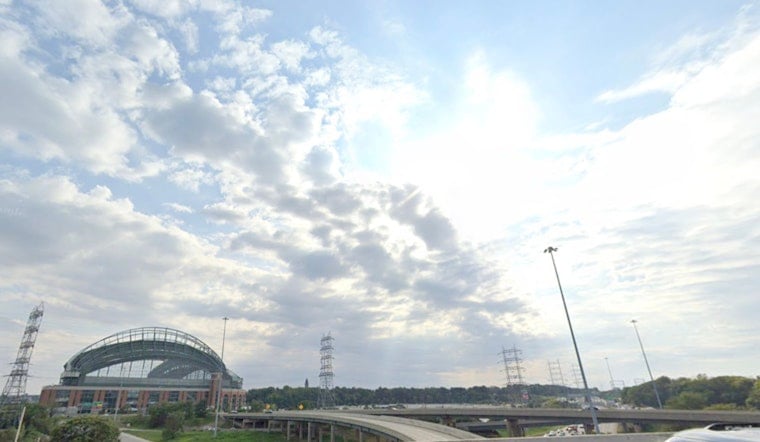
Milwaukee woke up to cloudy skies and a cool 63°F on Sunday, June 14, 2026, as lingering showers across the far southeast slowly fizzled out before mid-morning. Most neighborhoods should dry out and trade the gray for breezy, mostly sunny conditions this afternoon, with highs topping out near 68°F and northwest winds around 5 to 15 mph. New rainfall totals look light, staying under one tenth of an inch for most spots, so the morning drive is more about dodging a few leftover puddles than anything serious.
Afternoon: Mostly Sunny and Breezy
That northwest breeze will keep lakeshore spots a bit cooler than inland neighborhoods, with afternoon temperatures generally settling in the mid to upper 60s. Gusts may occasionally reach around 15 mph, so a light jacket is not a bad idea if you are hanging out along the lakefront. Streets should continue to dry through late morning, and outdoor weekend plans across the metro look mostly good to go.
Storms Tuesday to Wednesday
By Tuesday, June 16, 2026, the pattern turns unsettled, with showers and thunderstorms becoming more likely and sticking around into Wednesday, June 17, 2026. According to the National Weather Service in Milwaukee, forecasters are calling for about a 70 to 90 percent chance of showers and storms on those days and caution that some areas could see heavy rain Wednesday night, with local amounts reaching one to two inches. Keep an eye on updates in case any watches or warnings are posted.
Plan Ahead
If you have outdoor plans later this week, it is smart to line up an indoor backup and be ready for brief heavy downpours that can cut visibility and trigger localized street flooding. The City of Milwaukee shares details on summer cooling sites and public resources that can help if temperatures spike again; check the City of Milwaukee's summer resources for locations and more information. Staying plugged into local forecasts will make it easier to time your errands and events around any soggy stretches.
We will pass along updates if any watches or warnings are issued for the area. For now, expect a cool start to the week that turns wetter by midweek. Enjoy the Sunday sunshine while you have it and keep that weather app close for Tuesday and Wednesday.


