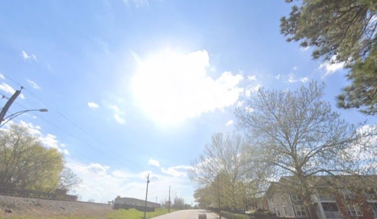
Washington, D.C. is starting Thursday, June 18, on the steamy side, with clear skies and mid‑morning temperatures already in the low 80s at Reagan National. The real scorchers arrive this afternoon, when readings climb to around 94°F and the heat index pushes into the mid 90s to near 100. Southwest winds will ramp up through the day, and a shot at showers and thunderstorms moves in after about 2 p.m.
Afternoon Winds Pick Up
A Wind Advisory is posted for parts of the region from 7 a.m. to 6 p.m., calling for southwest winds of 12 to 22 mph with gusts up to about 33 mph. Over the northern Chesapeake Bay, gale warnings and small‑craft advisories are in effect. The National Weather Service notes that the strongest gusts may arrive with thunderstorms, and some coastal spots could see minor tidal flooding near the morning high tide.
Thunderstorm Risk This Afternoon
Showers and a few thunderstorms become more likely after about 2 p.m., with the best chances late afternoon into early evening. Most storms should move through quickly, but the strongest cells could produce damaging straight‑line winds and isolated hail, so outdoor plans should be ready to head inside if storms start to build. Boaters and anyone with loose outdoor items should be prepared for sudden gusts and brief, heavy downpours.
Weekend Outlook And Juneteenth
Friday, June 19 (Juneteenth) looks noticeably cooler, with a high near 84°F and a morning chance of showers and thunderstorms. Saturday should be a bit drier and top out around 85°F. A stronger low is possible late Sunday into Monday, June 22, which could bring heavier rain and a higher chance of thunderstorms early next week, so it is wise to keep plans flexible. For background on heat safety and local cooling options, see heat safety and cooling options.


