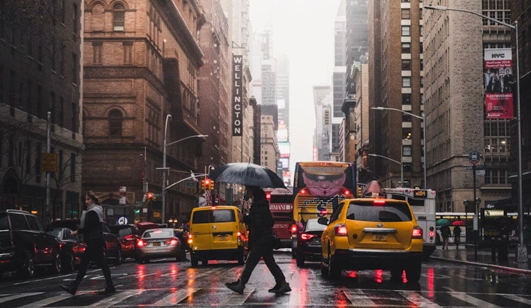
New Yorkers woke up to a soupy mix of fog and mist on Tuesday, June 23, 2026, with the Central Park (KNYC) observation clocking in around 71°F and visibility knocked down in spots for the early commute. Showers and thunderstorms are expected to fire through the morning and into the afternoon, and a few storms could bring brief heavy downpours that slash visibility and slow travel. A Flood Watch was allowed to expire at 6 a.m., but forecasters say minor urban and poor drainage flooding is still on the table this afternoon.
When To Expect Downpours
A cold front is set to roll through late this morning into early afternoon, putting the prime window for showers and thunderstorms roughly between 8 a.m. and mid-afternoon. Most spots will likely see light to moderate totals, but any heavier cells could quickly drop a quarter to a half inch of rain and trigger brief flooding issues. Temperatures should top out near 73°F today before a much sunnier, warmer Wednesday with highs near 85°F, according to the NWS New York.
Commute And Outdoor Plans
Roads will be slick and standing water may collect in the usual low spots, so plan on giving yourself extra time and take it easy behind the wheel. Subway and bus riders should brace for wet platforms and possible slowdowns on surface routes, and check MTA Service Status for live updates before heading out. If you have outdoor plans, it is a good day to move things inside or push them to later in the week when conditions look more settled.
Beaches, Boats And Waterfronts
Forecasters are also flagging a moderate rip current risk today and Wednesday, with lingering 2 to 3 foot southerly swells keeping ocean beaches choppy. If you are bound for Coney Island, Rockaway, or other Atlantic beaches, stick to lifeguarded areas and follow posted flags. Small-craft operators and ferry riders should use caution on the water and check the marine forecast before departing.
This story will be updated if conditions change. For more background on the week’s gusty winds and rough surf, see our stormy skies and sneaky rips coverage. Sign up for local alerts and keep an eye on the forecast before heading out this afternoon.


