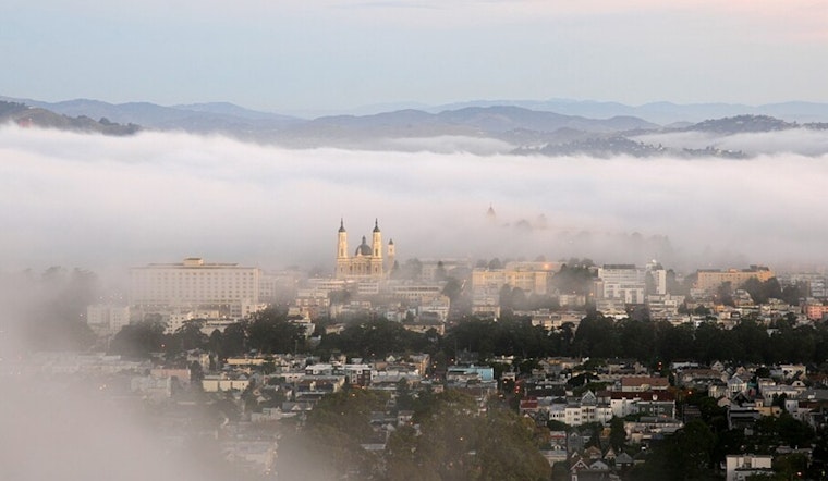
San Francisco woke up today to cool, damp air, roughly 57°F with near-saturated humidity and a slight chance of coastal drizzle to start the day. The light mist should fade by midmorning, giving way to sunshine and a top temperature near 69°F across most neighborhoods. West-southwest breezes will pick up in the afternoon, with gusts up to about 20 mph along exposed headlands and waterfronts.
What To Expect Today And This Week
A weak front slipped through overnight, keeping the best chance of drizzle before 9 AM today mainly along the coast and western hills and producing only trace accumulations. The marine layer should thin by midmorning, setting up mostly sunny skies this afternoon while highs hold in the upper 60s in the city. A broader pattern shift starts tomorrow as high pressure builds, and interior valleys are likely to warm into the 90s tomorrow and Thursday, bringing a moderate risk of heat-related illness away from the immediate coast. Forecasters also flag elevated to near-critical fire-weather conditions in the interior North Bay and the Diablo Range. Small-craft advisories and localized gale warnings are posted for parts of the outer waters tomorrow night into early Thursday, according to the National Weather Service.
How To Prepare
If you are sensitive to heat or have outdoor plans later this week, try to shift strenuous activity to the morning or evening, drink plenty of water, and check local cooling center and pool hours before you head out. Boaters, ferry riders and anyone crossing exposed bridges should plan extra time for rough seas and gusty crosswinds and keep an eye on harbor advisories. City resources and an interactive heat map are available on ReadySF for cooling centers, pools and other heat-support information.


