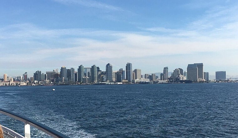
San Diego rolled in today, under a thick marine layer, with mostly cloudy skies hugging the coast and temperatures parked in the mid‑60s at Lindbergh Field. Low clouds are expected to thin through mid‑ to late morning, setting the stage for most neighborhoods to reach about 72°F this afternoon, while inland spots warm into the 80s and the deserts stay well over 100°F. Southwest winds should stay on the mild side, roughly 0–10 mph early, nudging up to around 10 mph by midday in some areas.
Foggy Mornings, Sunny Afternoons
Early along the immediate coast, look for patchy low clouds and a touch of drizzle that will push inland overnight, then scatter by mid‑morning so inland neighborhoods can enjoy mostly sunny afternoons. Tonight is expected to stay mostly cloudy with a low near 59°F. These details on timing, cloud depth, and temperatures come from the National Weather Service San Diego.
Midweek Warmth, Weekend Cooldown
The marine layer is forecast to deepen to around 2,500 feet late tonight and persist through tomorrow morning, which will cool the coast and parts of the valleys tomorrow before a warmer Wednesday, when inland highs run a few degrees above average. A low-pressure system sliding into the western states will strengthen onshore flow by Friday and bring a gradual cooling trend into the weekend, with some valley highs slipping a few degrees below average by Sunday.
Commute And Marine Notes
Morning low clouds and patchy drizzle could slow early coastal commutes and cut visibility near the water, so it is worth giving yourself a little extra time for airport runs or dawn patrol market trips. Out on the water, no hazardous marine conditions are anticipated through Friday, although seas may turn a bit choppy during the gustier periods.


