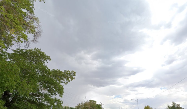
Thursday, June 11, 2026 — Houston rolled out of bed to sticky, clear skies and a reported 796F at 5:35 a.m. CDT, according to the KHOU observing station. Temperatures are set to climb into the low 90s this afternoon, while humidity drives heat-index values into the lower 100s, making it feel tougher outside than the thermometer alone suggests. A few quick, isolated showers or thunderstorms could pop up later today, but most neighborhoods should stay dry. Along the Gulf, rough surf and an elevated rip-current risk are expected to linger through at least Friday morning.
Afternoon Heat and Surf
Forecasters call for mostly sunny skies with a high near 926F and south winds of about 5 to 15 mph, with gusts up to 20 mph. There is a slight chance of rain showers between 8 a.m. and 9 a.m., then another slight chance of showers and thunderstorms between 2 p.m. and 5 p.m., with overall rain chances holding around 15 to 20 percent. Along the coast, expect rough surf, a high rip-current risk, and a small-craft caution lasting into Friday morning. If you are heading for Galveston, Surfside, or other Gulf beaches, plan on choppy water and unsafe swimming conditions. For more details, see the National Weather Service Houston/Galveston.
How To Stay Cool
With heat-index readings near 1006F, it is a good day to pace yourself: take frequent water and shade breaks, avoid heavy outdoor exertion during the middle of the day, and check on neighbors who might be more vulnerable. The city and partner agencies have opened "Beat the Heat" cooling centers around town for short-term relief; for locations, hours and assistance options see Beat the Heat cooling centers. If you will be at the beach, stick close to lifeguard stations and follow any posted flag warnings.
Looking Ahead
The same hot, humid setup looks likely to stick around through the weekend. Late Sunday into early next week, a pattern shift could nudge a trough southward, raising rain chances while easing the worst of the heat. That change may bring down heat-index readings and bump up the odds of scattered storms beginning Sunday and into Monday. If you are planning coastal travel or outdoor work, keep an eye on the latest forecast; for updates see the National Weather Service Houston/Galveston.


