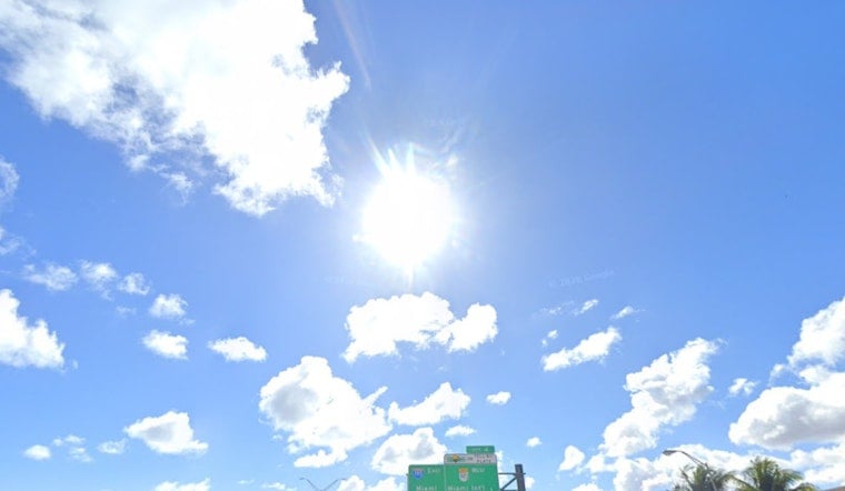
Today, Friday, June 19, 2026, Miami rolled into Juneteenth with clear skies, sticky air and muggy low 80s readings at Miami International Airport before sunrise. Forecasters are calling for a high near 90°F and only modest overnight relief along the coast, with heat-index values expected to climb into a dangerous 105–110°F range this afternoon. A Heat Advisory in effect this afternoon will make most outdoor plans feel brutal and turn long stretches outside into a real risk for kids, seniors and outdoor workers.
Afternoon Heat And Safety
The Heat Advisory runs from noon to 7 p.m. today and warns of heat-index values up to 110°F as humidity stays locked in and southeast winds hover around 10–12 mph. According to the National Weather Service, residents should drink plenty of water, stay in air-conditioned spaces when possible, and schedule strenuous activity for early morning or evening hours. Outdoor Juneteenth events are urged to set up shade, stock extra water and have a clear cooling plan for vulnerable attendees.
Smoke And Air Quality
Multiple brush fires burning in central Miami-Dade are still sending smoke into parts of the metro, lowering air quality in neighborhoods downwind and making outdoor breathing uncomfortable for those with asthma or COPD. Local health officials advise staying indoors with windows closed, running A/C on recirculate if possible, and using N95 or KN95 masks if you must be outside when smoke is heavy. Check your local air-quality index before long outdoor activities and keep inhalers handy for anyone with respiratory conditions.
Showers, Timing And Weekend Outlook
Storm coverage increases into the weekend. Expect only a slight chance of inland showers tonight, about a 20% chance between roughly 7 and 8 p.m., but Saturday, June 20, brings a higher chance of showers and thunderstorms, around 60%, with the best coverage over interior neighborhoods after late morning. The storms are likely to be slow-moving with brief heavy downpours and gusty outflow winds, so localized urban flooding and sudden gusts are possible. Forecasters say the steamy pattern continues next week with daily highs around 90°F and scattered afternoon storms. According to the National Weather Service, sea-breeze collisions will focus most activity inland, leaving coastal areas only marginally wetter.
What Residents Should Do
Hydrate, move strenuous tasks to the cooler parts of the day, and have a plan to head indoors quickly if a storm rolls in or thick smoke drifts over your neighborhood. If you or someone else shows symptoms of heat exhaustion or heat stroke, such as heavy sweating, fainting, confusion or a very high body temperature, call 911 or seek medical attention immediately. For air-quality updates, consider checking local health department resources or the EPA's AirNow map before committing to long outdoor activity.


