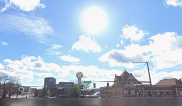
Knoxville is starting Monday, June 29, 2026, in full-on sauna mode. Cloudy skies, sticky air, and patchy fog are on tap for the early commute, with visibility issues possible on neighborhood streets and bridges through about 8 a.m. Temperatures are already in the mid 70s, and the afternoon is expected to climb into the lower 90s, with a heat index that could spike to around 103. A few early isolated showers may pop up, but the real story by midday will be mostly sunny skies and intensifying heat. If you have heavy outdoor work to do, your best bet is early morning or later in the evening, with plenty of water close by.
Foggy Mornings, Slight Rain Risk
That patchy fog through 8 a.m. could slow drivers down, especially on bridges and low-lying spots, but it should lift as the morning goes on. After that, there is a slight chance of showers and isolated thunderstorms between late morning and mid-afternoon, mainly north and east of Knoxville. The National Weather Service in Morristown is calling for a high near 91 and puts the odds of brief storms this morning and early afternoon at about 20 percent. For the official forecast and hourly breakdown, check the National Weather Service Morristown.
Heat Builds Through The Week
The heat does not stop today. On Tuesday, June 30, 2026, temperatures are forecast to reach around 94, with a heat index that could feel closer to 107. Wednesday and Thursday are expected to trend into the mid to upper 90s, with heat indices that may top 105. The National Weather Service notes that a Heat Advisory may be issued in the middle of the week if those heat index values climb past 105. Local station WVLT is also highlighting the upcoming string of 90-degree days and the limited relief expected overnight.
Plan Ahead
If you have outdoor plans this week, including July 4 gatherings, aim for the cooler morning or evening hours, stay hydrated, and keep a backup indoor option ready in case storms bubble up during the afternoon. The current outlook for Saturday, July 4, 2026, calls for a high near 94 and a chance of showers and thunderstorms after 2 p.m., so you may want to be flexible with fireworks, cookouts, and other festivities if the weather turns. Check hourly updates before you head out and keep an eye on vulnerable neighbors, children, and pets as the heat ramps up.


