Miami woke up clear and very muggy this morning (Saturday, June 13), with temperatures near 79°F at Miami International Airport and dew points in the low to mid 70s making it feel sticky before breakfast. Afternoon highs are expected to climb into the upper 80s, and scattered, sea breeze driven thunderstorms are likely to bubble up late in the day. Forecasters say the strongest cells could dump intense rain fast enough to trigger poor drainage and brief urban flooding. At the moment there are no watches or warnings posted for the metro.
Afternoon Showers And Flooding Risk
Scattered thunderstorms are expected to develop across the metro this afternoon into early evening (Saturday, June 13), with the best window for storms roughly between 2 p.m. and 5 p.m. Slow moving cells could wring out high rainfall rates and lead to poor drainage or urban flooding, and forecasters also caution that heat index values could climb into the 100 to 105°F range this weekend. Wind gusts are the primary concern with isolated stronger storms, so keep an eye on changing conditions and radar updates from the National Weather Service in Miami.
Heat And Where To Cool Off
Even where storms fail to fire, humidity will keep mornings and afternoons feeling oppressive, with highs near 88 to 89°F and dew points in the mid 70s. City and county officials note that although no heat advisory is in effect right now, residents should go easy on strenuous outdoor activity and stay hydrated. If you need a break from the heat, the City of Miami lists seasonal cooling centers and park sites, and you can call 311 or text ALERTMIAMI to 888777 for locations and hours, per the City of Miami.
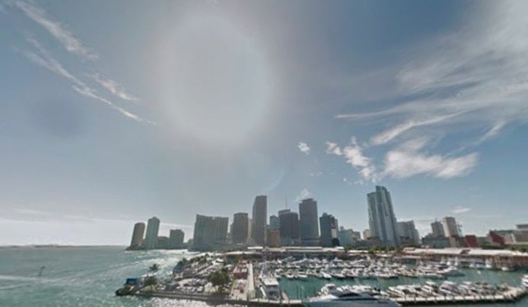
Travel And Marine Notes
Light southeast winds will be the rule this weekend, generally 2 to 12 mph, with onshore breezes keeping beaches a touch cooler than inland neighborhoods. Out on the water, seas are expected to stay mostly under 2 feet in the Atlantic and around a foot or less in the Gulf, but any nearby thunderstorm can quickly whip up hazardous winds and choppy conditions, so small craft should monitor forecasts from the National Weather Service in Miami. For the afternoon commute on Saturday, June 13, plan on a little extra time, since brief downpours can knock down visibility and cause localized ponding on low lying roads.
What To Expect This Week
Looking ahead, forecasters expect the moisture to linger into Monday and Tuesday (June 15 to 16), with daily sea breeze storms, higher rain chances early next week, and the same stubborn heat. We will post updates if watches or warnings are issued; for background on the broader pattern, see the earlier outlook on a steamy week of pop up storms. Keep a weather app handy on your phone and a bottle of water close by, because Miami’s summer is rolling in with a wet, humid punch.


